Distance to Peanut Island, Florida

Calculating Your Route
Just a moment while we process your request...
Location Information
-
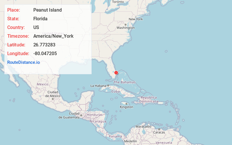
Full AddressPeanut Island, Florida
-
Coordinates26.7732826, -80.0472053
-
LocationFlorida , US
-
TimezoneAmerica/New_York
-
Current Local Time4:22:11 PM America/New_YorkSunday, May 25, 2025
-
Page Views0
About Peanut Island
Manmade island in the Port of Palm Beach with swimming, snorkeling, camping & a bunker used by JFK.


Nearby Places
Found 10 places within 50 miles

Riviera Beach
0.7 mi
1.1 km
Riviera Beach, FL
Get directions

Palm Beach Shores
0.8 mi
1.3 km
Palm Beach Shores, FL 33404
Get directions

Mangonia Park
1.9 mi
3.1 km
Mangonia Park, FL 33407
Get directions

Lake Park
2.2 mi
3.5 km
Lake Park, FL
Get directions

West Palm Beach
4.1 mi
6.6 km
West Palm Beach, FL
Get directions

Palm Beach
4.7 mi
7.6 km
Palm Beach, FL
Get directions

Juno Ridge
5.3 mi
8.5 km
Juno Ridge, FL 33408
Get directions

Monet
5.3 mi
8.5 km
Monet, Palm Beach Gardens, FL 33410
Get directions
Military Park
5.6 mi
9.0 km
Military Park, Schall Circle, FL 33417
Get directions

Palm Beach Gardens
5.7 mi
9.2 km
Palm Beach Gardens, FL
Get directions
Location Links
Local Weather
Weather Information
Coming soon!
Location Map
Static map view of Peanut Island, Florida
Browse Places by Distance
Places within specific distances from Peanut Island
Short Distances
Long Distances
Click any distance to see all places within that range from Peanut Island. Distances shown in miles (1 mile ≈ 1.61 kilometers).