Distance to Pear Valley, Texas

Calculating Your Route
Just a moment while we process your request...
Location Information
-
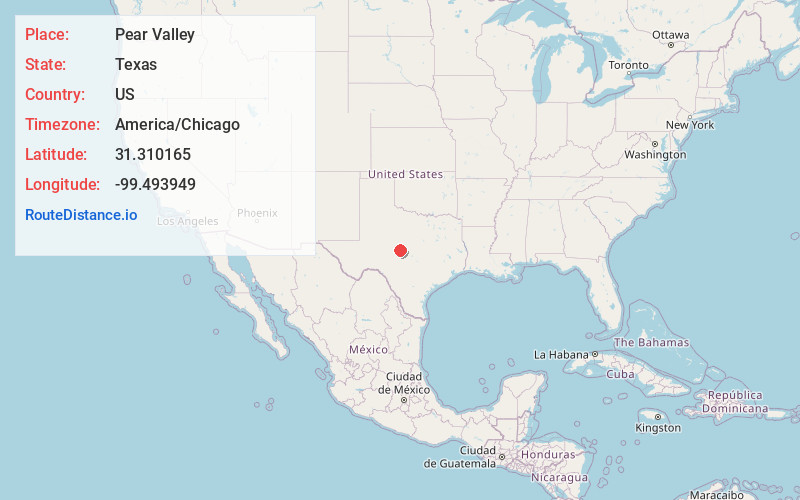
Full AddressPear Valley, TX 76852
-
Coordinates31.3101653, -99.4939485
-
LocationPear Valley , Texas , US
-
TimezoneAmerica/Chicago
-
Current Local Time5:17:43 PM America/ChicagoFriday, June 20, 2025
-
Page Views0
About Pear Valley
Pear Valley is an unincorporated community in McCulloch County, Texas, United States. According to the Handbook of Texas, the community had an estimated population of 37 in 2000.
Pear Valley contains two churches and two businesses. Pear Valley sits between state highways 83 and 283.
Nearby Places
Found 10 places within 50 miles

Lohn
5.0 mi
8.0 km
Lohn, TX 76852
Get directions

Melvin
9.4 mi
15.1 km
Melvin, TX 76858
Get directions
Rockwood
15.0 mi
24.1 km
Rockwood, TX 76873
Get directions

Brady
15.3 mi
24.6 km
Brady, TX 76825
Get directions

Gouldbusk
16.8 mi
27.0 km
Gouldbusk, TX 76845
Get directions

Rochelle
17.8 mi
28.6 km
Rochelle, TX
Get directions

Eden
21.8 mi
35.1 km
Eden, TX 76837
Get directions
Camp San Saba
25.9 mi
41.7 km
Camp San Saba, TX 76825
Get directions

Paint Rock
28.6 mi
46.0 km
Paint Rock, TX 76866
Get directions
Hext
30.6 mi
49.2 km
Hext, TX
Get directions
Location Links
Local Weather
Weather Information
Coming soon!
Location Map
Static map view of Pear Valley, Texas
Browse Places by Distance
Places within specific distances from Pear Valley
Short Distances
Long Distances
Click any distance to see all places within that range from Pear Valley. Distances shown in miles (1 mile ≈ 1.61 kilometers).