Distance to Pecan Island Gas Field, Louisiana

Calculating Your Route
Just a moment while we process your request...
Location Information
-
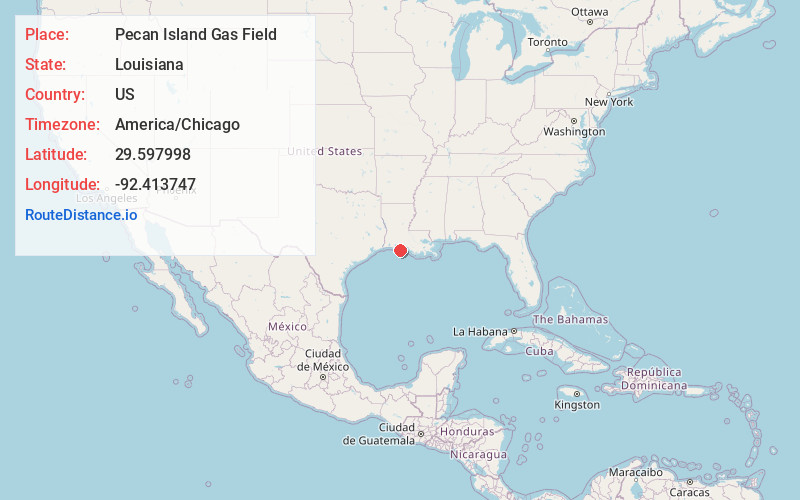
Full AddressPecan Island Gas Field, Louisiana 70548
-
Coordinates29.5979976, -92.4137471
-
LocationLouisiana , US
-
TimezoneAmerica/Chicago
-
Current Local Time1:42:25 AM America/ChicagoFriday, June 20, 2025
-
Page Views0
Nearby Places
Found 10 places within 50 miles

Little Prairie Ridge
12.5 mi
20.1 km
Little Prairie Ridge, Louisiana 70548
Get directions
Cheniere Au Tigre
12.8 mi
20.6 km
Cheniere Au Tigre, LA 70548
Get directions
Forked Island
16.9 mi
27.2 km
Forked Island, Louisiana 70510
Get directions
Intracoastal City
20.1 mi
32.3 km
Intracoastal City, LA 70510
Get directions
North Island
20.9 mi
33.6 km
North Island, LA 70643
Get directions
Esther
22.2 mi
35.7 km
Esther, LA 70510
Get directions
Theall
22.6 mi
36.4 km
Theall, LA 70510
Get directions
Rose Hill
27.9 mi
44.9 km
Rose Hill, LA 70510
Get directions
Henry
28.2 mi
45.4 km
Henry, LA 70533
Get directions

Kaplan
28.7 mi
46.2 km
Kaplan, LA 70548
Get directions
Location Links
Local Weather
Weather Information
Coming soon!
Location Map
Static map view of Pecan Island Gas Field, Louisiana
Browse Places by Distance
Places within specific distances from Pecan Island Gas Field
Short Distances
Long Distances
Click any distance to see all places within that range from Pecan Island Gas Field. Distances shown in miles (1 mile ≈ 1.61 kilometers).