Distance to and from Peck, Michigan
Peck, MI 48466
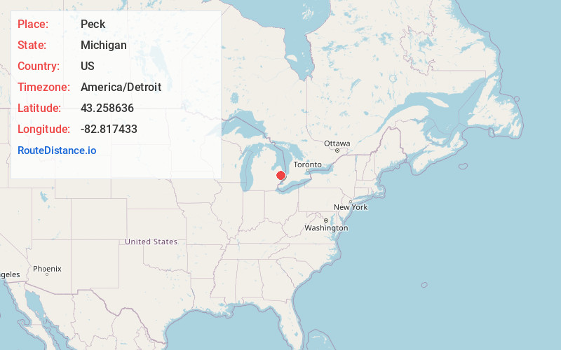
Peck
Michigan
US
America/Detroit
Location Information
-
Full AddressPeck, MI 48466
-
Coordinates43.2586357, -82.8174329
-
LocationPeck , Michigan , US
-
TimezoneAmerica/Detroit
-
Current Local Time9:06:15 AM America/DetroitSunday, May 4, 2025
-
Page Views0
Directions to Nearest Cities
About Peck
Peck is a village in Sanilac County of the U.S. state of Michigan. The population was 632 at the 2010 census. The village is in Elk Township.


Nearby Places
Found 10 places within 50 miles

Yale
8.9 mi
14.3 km
Yale, MI 48097
Get directions

Brown City
9.2 mi
14.8 km
Brown City, MI 48416
Get directions

Croswell
10.0 mi
16.1 km
Croswell, MI 48422
Get directions

Sandusky
11.2 mi
18.0 km
Sandusky, MI 48471
Get directions

Marlette
14.0 mi
22.5 km
Marlette, MI 48453
Get directions

Lexington
14.4 mi
23.2 km
Lexington, MI 48450
Get directions

Capac
18.0 mi
29.0 km
Capac, MI 48014
Get directions

Port Sanilac
18.2 mi
29.3 km
Port Sanilac, MI 48469
Get directions

Ruby
18.3 mi
29.5 km
Ruby, MI 48049
Get directions

Deckerville
19.0 mi
30.6 km
Deckerville, MI 48427
Get directions
Yale
8.9 mi
14.3 km
Yale, MI 48097
Brown City
9.2 mi
14.8 km
Brown City, MI 48416
Croswell
10.0 mi
16.1 km
Croswell, MI 48422
Sandusky
11.2 mi
18.0 km
Sandusky, MI 48471
Marlette
14.0 mi
22.5 km
Marlette, MI 48453
Lexington
14.4 mi
23.2 km
Lexington, MI 48450
Capac
18.0 mi
29.0 km
Capac, MI 48014
Port Sanilac
18.2 mi
29.3 km
Port Sanilac, MI 48469
Ruby
18.3 mi
29.5 km
Ruby, MI 48049
Deckerville
19.0 mi
30.6 km
Deckerville, MI 48427
Location Links
Local Weather
Weather Information
Coming soon!
Location Map
Static map view of Peck, Michigan
Browse Places by Distance
Places within specific distances from Peck
Short Distances
Long Distances
Click any distance to see all places within that range from Peck. Distances shown in miles (1 mile ≈ 1.61 kilometers).