Distance to Peedee, South Carolina

Calculating Your Route
Just a moment while we process your request...
Location Information
-
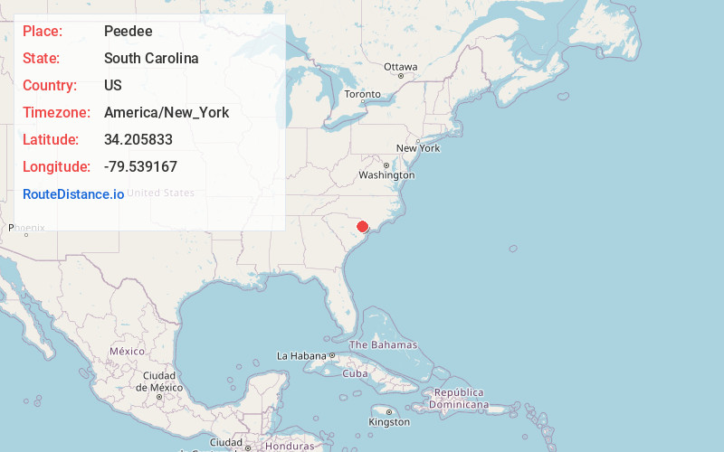
Full AddressPeedee, SC 29571
-
Coordinates34.205833, -79.539167
-
LocationPeedee , South Carolina , US
-
TimezoneAmerica/New_York
-
Current Local Time11:26:34 PM America/New_YorkSunday, June 29, 2025
-
Page Views0
About Peedee
The Pee Dee is a region in the northeast corner of the U.S. state of South Carolina. It lies along the lower watershed of the Pee Dee River, which was named after the Pee Dee, an Indigenous tribe historically inhabiting the region.
Nearby Places
Found 10 places within 50 miles

Winona
3.7 mi
6.0 km
Winona, SC 29506
Get directions
Laughlin
3.7 mi
6.0 km
Laughlin, SC 29571
Get directions
Parker Crossroads
4.8 mi
7.7 km
Parker Crossroads, SC 29506
Get directions
Sellers
6.6 mi
10.6 km
Sellers, SC 29592
Get directions
West Marion
6.7 mi
10.8 km
West Marion, SC 29571
Get directions

Marion
8.1 mi
13.0 km
Marion, SC
Get directions
Spring Branch
8.7 mi
14.0 km
Spring Branch, SC 29571
Get directions
Kennedy Crossroads
9.1 mi
14.6 km
Kennedy Crossroads, SC 29505
Get directions
Fendall
9.7 mi
15.6 km
Fendall, SC 29505
Get directions
Willow Creek Siding
10.0 mi
16.1 km
Willow Creek Siding, SC 29541
Get directions
Location Links
Local Weather
Weather Information
Coming soon!
Location Map
Static map view of Peedee, South Carolina
Browse Places by Distance
Places within specific distances from Peedee
Short Distances
Long Distances
Click any distance to see all places within that range from Peedee. Distances shown in miles (1 mile ≈ 1.61 kilometers).