Distance to Peerless Park, Missouri

Calculating Your Route
Just a moment while we process your request...
Location Information
-
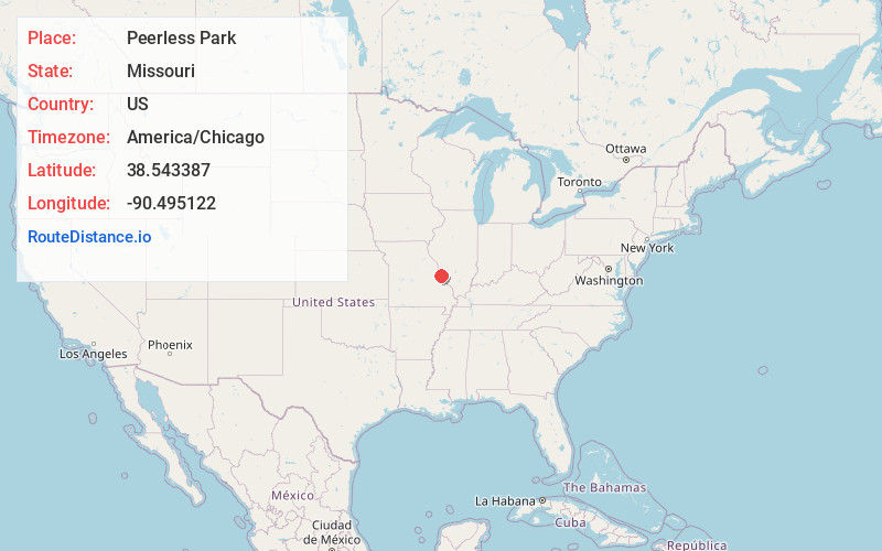
Full AddressPeerless Park, Valley Park, MO 63088
-
Coordinates38.543387, -90.4951216
-
LocationValley Park , Missouri , US
-
TimezoneAmerica/Chicago
-
Current Local Time5:46:54 AM America/ChicagoSaturday, June 14, 2025
-
Page Views0
About Peerless Park
Peerless Park is a former, disincorporated town located at the junction of Interstate 44 and Route 141 in St. Louis County, Missouri, United States. It was incorporated in 1935 and by the 1980s, the majority of the town was businesses and its population did not exceed 50.
Nearby Places
Found 10 places within 50 miles

Valley Park
0.4 mi
0.6 km
Valley Park, MO
Get directions

Pettys Hill
0.6 mi
1.0 km
Pettys Hill, Valley Park, MO 63088
Get directions
Twin Oaks
1.6 mi
2.6 km
Twin Oaks, MO
Get directions
Fern Glen
2.1 mi
3.4 km
Fern Glen, Queeny Township, MO 63021
Get directions
Morschels
2.2 mi
3.5 km
Morschels, Meramec Township, MO 63049
Get directions
Lincoln Beach
2.4 mi
3.9 km
Lincoln Beach, Meramec Township, MO 63021
Get directions

Fenton
3.5 mi
5.6 km
Fenton, MO
Get directions

Murphy
3.7 mi
6.0 km
Murphy, MO
Get directions
Winchester
3.7 mi
6.0 km
Winchester, MO
Get directions

Manchester
3.8 mi
6.1 km
Manchester, MO
Get directions
Location Links
Local Weather
Weather Information
Coming soon!
Location Map
Static map view of Peerless Park, Missouri
Browse Places by Distance
Places within specific distances from Peerless Park
Short Distances
Long Distances
Click any distance to see all places within that range from Peerless Park. Distances shown in miles (1 mile ≈ 1.61 kilometers).