Distance to Peever Flats, South Dakota

Calculating Your Route
Just a moment while we process your request...
Location Information
-
Full AddressPeever Flats, SD
-
Coordinates45.5238498, -96.9359099
-
LocationPeever Flats , South Dakota , US
-
TimezoneAmerica/Chicago
-
Current Local Time12:01:20 PM America/ChicagoSunday, June 1, 2025
-
Page Views0
About Peever Flats
Peever Flats is an unincorporated community and census-designated place in Roberts County, South Dakota, United States, within the Lake Traverse Indian Reservation. It was first listed as a CDP prior to the 2020 census. The population of the CDP was 129 at the 2020 census.
Nearby Places
Found 10 places within 50 miles

Peever
1.6 mi
2.6 km
Peever, SD 57257
Get directions

Agency Village
6.9 mi
11.1 km
Agency Village, SD 57262
Get directions

Browns Valley
7.0 mi
11.3 km
Browns Valley, MN 56219
Get directions

Wilmot
8.8 mi
14.2 km
Wilmot, SD 57279
Get directions
Beardsley
11.1 mi
17.9 km
Beardsley, MN 56211
Get directions

Sisseton
11.2 mi
18.0 km
Sisseton, SD 57262
Get directions
Long Hollow Housing
15.4 mi
24.8 km
Long Hollow Housing, SD 57262
Get directions

Summit
15.9 mi
25.6 km
Summit, SD 57266
Get directions
Waubay
22.3 mi
35.9 km
Waubay, SD 57273
Get directions

New Effington
23.0 mi
37.0 km
New Effington, SD 57255
Get directions
Location Links
Local Weather
Weather Information
Coming soon!
Location Map
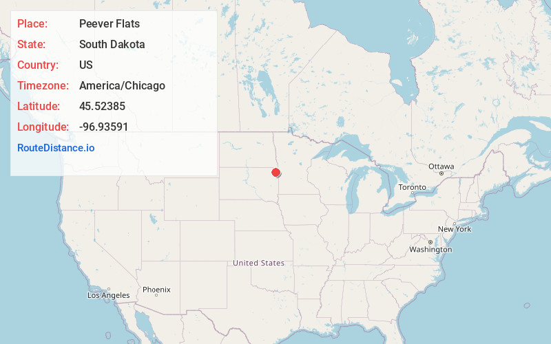
Static map view of Peever Flats, South Dakota
Browse Places by Distance
Places within specific distances from Peever Flats
Short Distances
Long Distances
Click any distance to see all places within that range from Peever Flats. Distances shown in miles (1 mile ≈ 1.61 kilometers).