Distance to Peewee, West Virginia

Calculating Your Route
Just a moment while we process your request...
Location Information
-
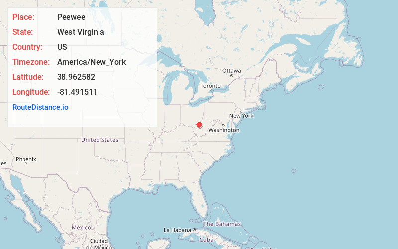
Full AddressPeewee, WV 25252
-
Coordinates38.9625821, -81.4915111
-
LocationWest Virginia , US
-
TimezoneAmerica/New_York
-
Current Local Time3:31:38 PM America/New_YorkTuesday, May 27, 2025
-
Page Views0
About Peewee
Peewee is an unincorporated community in southwestern Wirt County, West Virginia, United States. It lies along local roads southwest of the town of Elizabeth, the county seat of Wirt County. Its elevation is 679 feet. Right Reedy Creek is formed at Peewee by the confluence of Enoch Fork and Fulls Fork.
Nearby Places
Found 10 places within 50 miles

Zackville
1.4 mi
2.3 km
Zackville, WV 26160
Get directions
Sunflower
4.0 mi
6.4 km
Sunflower, WV 25252
Get directions
Seaman
4.4 mi
7.1 km
Seaman, WV 25252
Get directions
Sandy Summit
4.5 mi
7.2 km
Sandy Summit, WV 25252
Get directions
Rover
5.0 mi
8.0 km
Rover, WV 26160
Get directions
Liverpool
5.1 mi
8.2 km
Liverpool, WV 25252
Get directions
Wiseburg
5.1 mi
8.2 km
Wiseburg, WV 25275
Get directions
Two Run
5.6 mi
9.0 km
Two Run, WV 26160
Get directions
Reedy
5.6 mi
9.0 km
Reedy, WV 25270
Get directions
Palestine
6.5 mi
10.5 km
Palestine, WV 26160
Get directions
Location Links
Local Weather
Weather Information
Coming soon!
Location Map
Static map view of Peewee, West Virginia
Browse Places by Distance
Places within specific distances from Peewee
Short Distances
Long Distances
Click any distance to see all places within that range from Peewee. Distances shown in miles (1 mile ≈ 1.61 kilometers).