Distance to Pella, Wisconsin

Calculating Your Route
Just a moment while we process your request...
Location Information
-
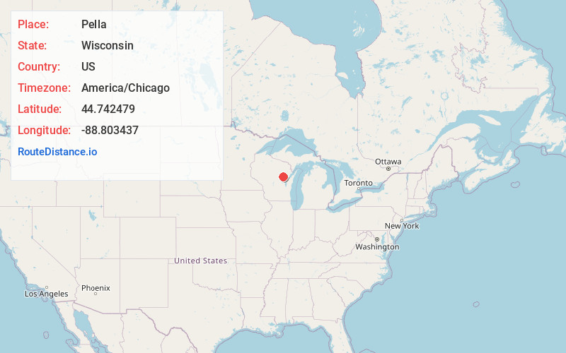
Full AddressPella, WI
-
Coordinates44.7424785, -88.8034371
-
LocationPella , Wisconsin , US
-
TimezoneAmerica/Chicago
-
Current Local Time2:20:28 AM America/ChicagoSaturday, May 31, 2025
-
Page Views0
About Pella
Pella is a town in Shawano County, Wisconsin, United States. The population was 877 at the 2000 census. The unincorporated community of Leopolis is located partially within the town. There is a census-designated place also called Pella in the town.
Nearby Places
Found 10 places within 50 miles

Caroline
4.6 mi
7.4 km
Caroline, WI
Get directions

Marion
6.5 mi
10.5 km
Marion, WI 54950
Get directions

Embarrass
7.1 mi
11.4 km
Embarrass, WI
Get directions

Gresham
7.7 mi
12.4 km
Gresham, WI 54128
Get directions

Clintonville
8.7 mi
14.0 km
Clintonville, WI 54929
Get directions

Bowler
12.1 mi
19.5 km
Bowler, WI 54416
Get directions

Tigerton
12.7 mi
20.4 km
Tigerton, WI 54486
Get directions

Keshena
12.8 mi
20.6 km
Keshena, WI
Get directions
Middle Village
13.6 mi
21.9 km
Middle Village, WI
Get directions

Big Falls
13.6 mi
21.9 km
Big Falls, WI
Get directions
Location Links
Local Weather
Weather Information
Coming soon!
Location Map
Static map view of Pella, Wisconsin
Browse Places by Distance
Places within specific distances from Pella
Short Distances
Long Distances
Click any distance to see all places within that range from Pella. Distances shown in miles (1 mile ≈ 1.61 kilometers).