Distance to Pemaquid Harbor, Maine

Calculating Your Route
Just a moment while we process your request...
Location Information
-
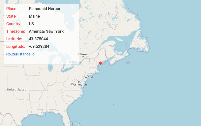
Full AddressPemaquid Harbor, Bristol, ME
-
Coordinates43.8750442, -69.529284
-
LocationBristol , Maine , US
-
TimezoneAmerica/New_York
-
Current Local Time10:50:36 PM America/New_YorkSunday, June 1, 2025
-
Page Views0


Nearby Places
Found 10 places within 50 miles

South Bristol
1.8 mi
2.9 km
South Bristol, ME
Get directions

New Harbor
1.9 mi
3.1 km
New Harbor, Bristol, ME 04554
Get directions

Heron Island
3.6 mi
5.8 km
Heron Island, South Bristol, ME 04568
Get directions

Bristol
3.8 mi
6.1 km
Bristol, ME
Get directions

Boothbay Harbor
5.2 mi
8.4 km
Boothbay Harbor, ME
Get directions

Boothbay
5.2 mi
8.4 km
Boothbay, ME
Get directions

Muscongus Bay
5.9 mi
9.5 km
Muscongus Bay, Maine
Get directions

Southport
6.9 mi
11.1 km
Southport, ME
Get directions

Edgecomb
7.7 mi
12.4 km
Edgecomb, ME
Get directions

Sheepscot River
7.9 mi
12.7 km
Sheepscot River, Maine
Get directions
Location Links
Local Weather
Weather Information
Coming soon!
Location Map
Static map view of Pemaquid Harbor, Maine
Browse Places by Distance
Places within specific distances from Pemaquid Harbor
Short Distances
Long Distances
Click any distance to see all places within that range from Pemaquid Harbor. Distances shown in miles (1 mile ≈ 1.61 kilometers).