Distance to Pendleton, North Carolina

Calculating Your Route
Just a moment while we process your request...
Location Information
-
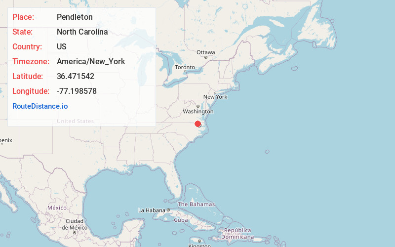
Full AddressPendleton, NC 27862
-
Coordinates36.4715415, -77.1985781
-
LocationPendleton , North Carolina , US
-
TimezoneAmerica/New_York
-
Current Local Time3:52:59 AM America/New_YorkWednesday, June 18, 2025
-
Page Views0
About Pendleton
Pendleton is an unincorporated community in Northampton County, North Carolina, United States. The community is located on North Carolina Highway 35 between Conway to the south and Severn to the north. Pendleton has a post office with ZIP code 27862.
Nearby Places
Found 10 places within 50 miles

Conway
2.9 mi
4.7 km
Conway, NC 27820
Get directions

Severn
3.1 mi
5.0 km
Severn, NC
Get directions
Lewters Crossroad
3.9 mi
6.3 km
Lewters Crossroad, NC 27862
Get directions
Milwaukee
4.9 mi
7.9 km
Milwaukee, NC 27820
Get directions

Murfreesboro
5.9 mi
9.5 km
Murfreesboro, NC
Get directions
Branchville
7.4 mi
11.9 km
Branchville, VA 23828
Get directions
Boykins
7.7 mi
12.4 km
Boykins, VA 23827
Get directions
Statesville
8.7 mi
14.0 km
Statesville, VA 23874
Get directions
Lassiter Crossroads
9.1 mi
14.6 km
Lassiter Crossroads, NC 27820
Get directions
Woodland
9.7 mi
15.6 km
Woodland, NC
Get directions
Location Links
Local Weather
Weather Information
Coming soon!
Location Map
Static map view of Pendleton, North Carolina
Browse Places by Distance
Places within specific distances from Pendleton
Short Distances
Long Distances
Click any distance to see all places within that range from Pendleton. Distances shown in miles (1 mile ≈ 1.61 kilometers).