Distance to Pennington Chapel, Tennessee

Calculating Your Route
Just a moment while we process your request...
Location Information
-
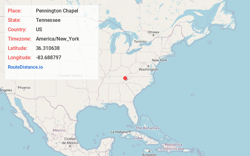
Full AddressPennington Chapel, TN 37888
-
Coordinates36.3106379, -83.6887969
-
LocationTennessee , US
-
TimezoneAmerica/New_York
-
Current Local Time5:39:28 PM America/New_YorkMonday, June 16, 2025
-
Page Views0
Nearby Places
Found 10 places within 50 miles

Beeler Mill
3.9 mi
6.3 km
Beeler Mill, TN 37888
Get directions
Rose Hill
4.0 mi
6.4 km
Rose Hill, TN 37807
Get directions
Powder Springs
4.1 mi
6.6 km
Powder Springs, TN 37888
Get directions
Liberty Hill
4.2 mi
6.8 km
Liberty Hill, TN 37888
Get directions
Elm Springs
5.2 mi
8.4 km
Elm Springs, TN 37888
Get directions
Union
5.2 mi
8.4 km
Union, TN 37866
Get directions
Washburn
5.4 mi
8.7 km
Washburn, TN 37888
Get directions
Chesney
5.7 mi
9.2 km
Chesney, TN 37848
Get directions
Sandlick
5.9 mi
9.5 km
Sandlick, TN 37825
Get directions
Highland Springs
6.2 mi
10.0 km
Highland Springs, TN 37709
Get directions
Location Links
Local Weather
Weather Information
Coming soon!
Location Map
Static map view of Pennington Chapel, Tennessee
Browse Places by Distance
Places within specific distances from Pennington Chapel
Short Distances
Long Distances
Click any distance to see all places within that range from Pennington Chapel. Distances shown in miles (1 mile ≈ 1.61 kilometers).