Distance to Penrose, Colorado

Calculating Your Route
Just a moment while we process your request...
Location Information
-
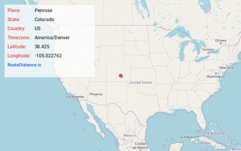
Full AddressPenrose, CO 81240
-
Coordinates38.4250001, -105.0227624
-
LocationPenrose , Colorado , US
-
TimezoneAmerica/Denver
-
Current Local Time1:01:42 AM America/DenverThursday, June 19, 2025
-
Page Views0
About Penrose
Penrose is a census-designated place and post office located in and governed by Fremont County, Colorado, United States. The CDP is a part of the Cañon City, CO Micropolitan Statistical Area. The Penrose post office has the ZIP Code 81240. At the United States Census 2020, the population of the Penrose CDP was 3,685.


Nearby Places
Found 10 places within 50 miles

Florence
5.7 mi
9.2 km
Florence, CO
Get directions

Pueblo West
16.6 mi
26.7 km
Pueblo West, CO
Get directions

Pueblo
24.8 mi
39.9 km
Pueblo, CO
Get directions

Fountain
24.9 mi
40.1 km
Fountain, CO
Get directions

Fort Carson
25.0 mi
40.2 km
Fort Carson, CO
Get directions

Stratmoor
27.5 mi
44.3 km
Stratmoor, CO
Get directions

Security-Widefield
28.0 mi
45.1 km
Security-Widefield, CO
Get directions

Colorado Springs
30.4 mi
48.9 km
Colorado Springs, CO
Get directions

Manitou Springs
30.5 mi
49.1 km
Manitou Springs, CO
Get directions

Cimarron Hills
35.2 mi
56.6 km
Cimarron Hills, CO
Get directions
Location Links
Local Weather
Weather Information
Coming soon!
Location Map
Static map view of Penrose, Colorado
Browse Places by Distance
Places within specific distances from Penrose
Short Distances
Long Distances
Click any distance to see all places within that range from Penrose. Distances shown in miles (1 mile ≈ 1.61 kilometers).