Distance to Penrose, North Carolina

Calculating Your Route
Just a moment while we process your request...
Location Information
-
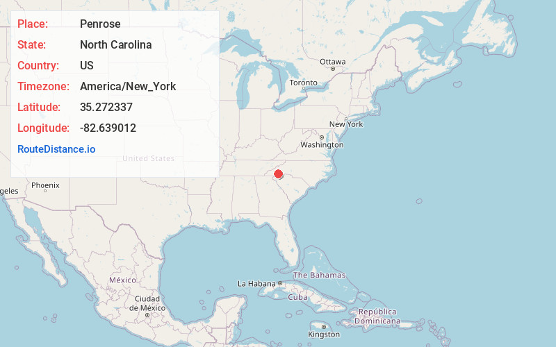
Full AddressPenrose, NC 28768
-
Coordinates35.2723372, -82.6390121
-
LocationPenrose , North Carolina , US
-
TimezoneAmerica/New_York
-
Current Local Time8:15:33 AM America/New_YorkSaturday, June 21, 2025
-
Page Views0
About Penrose
Penrose is an unincorporated community in Transylvania County, North Carolina, United States. Penrose is located on U.S. Route 64 6 miles east-northeast of Brevard. Penrose has a post office with ZIP code 28766.
Nearby Places
Found 10 places within 50 miles

Blantyre
2.1 mi
3.4 km
Blantyre, NC 28768
Get directions

Etowah
4.0 mi
6.4 km
Etowah, NC
Get directions

Brevard
6.0 mi
9.7 km
Brevard, NC
Get directions
Horse Shoe
6.7 mi
10.8 km
Horse Shoe, NC
Get directions
Sky Village
7.9 mi
12.7 km
Sky Village, Laurel Park, NC 28739
Get directions
Sega Lake
7.9 mi
12.7 km
Sega Lake, NC 28712
Get directions
Green Acres
8.3 mi
13.4 km
Green Acres, NC 28739
Get directions

Laurel Park
8.7 mi
14.0 km
Laurel Park, NC
Get directions

Mills River
9.0 mi
14.5 km
Mills River, NC
Get directions
Seeshore
9.0 mi
14.5 km
Seeshore, NC 28712
Get directions
Location Links
Local Weather
Weather Information
Coming soon!
Location Map
Static map view of Penrose, North Carolina
Browse Places by Distance
Places within specific distances from Penrose
Short Distances
Long Distances
Click any distance to see all places within that range from Penrose. Distances shown in miles (1 mile ≈ 1.61 kilometers).