Distance to Peora, West Virginia

Calculating Your Route
Just a moment while we process your request...
Location Information
-
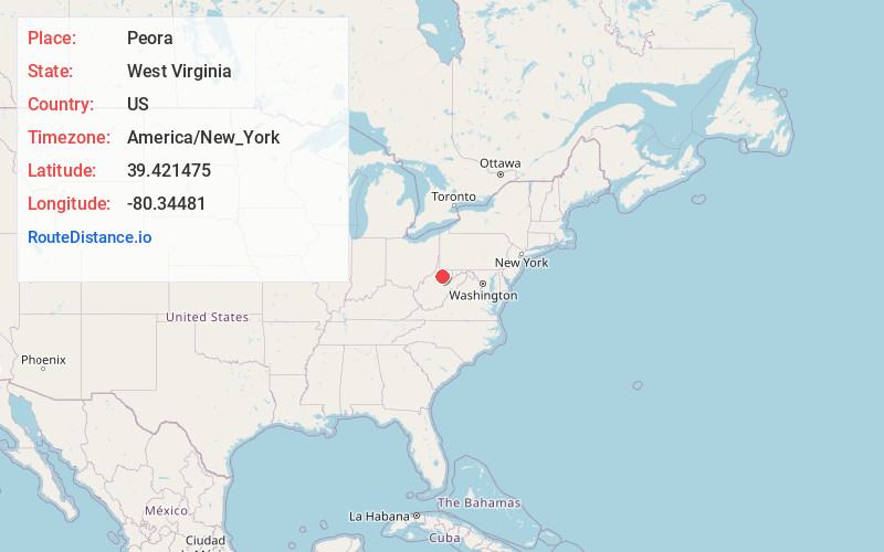
Full AddressPeora, WV 26582
-
Coordinates39.4214749, -80.3448097
-
LocationPeora , West Virginia , US
-
TimezoneAmerica/New_York
-
Current Local Time3:36:09 PM America/New_YorkTuesday, June 24, 2025
-
Page Views0
About Peora
Peora is an unincorporated community in Harrison County, West Virginia, United States. Peora is 3 miles northwest of Shinnston.
Nearby Places
Found 10 places within 50 miles

Pine Bluff
1.0 mi
1.6 km
Pine Bluff, WV 26301
Get directions
Prospect Valley
1.5 mi
2.4 km
Prospect Valley, WV 26431
Get directions
Sturms Mill
2.4 mi
3.9 km
Sturms Mill, WV 26591
Get directions
Bingamon
3.0 mi
4.8 km
Bingamon, WV 26591
Get directions

Shinnston
3.0 mi
4.8 km
Shinnston, WV 26431
Get directions
Lumberport
3.3 mi
5.3 km
Lumberport, WV
Get directions
Oakdale
3.3 mi
5.3 km
Oakdale, WV 26582
Get directions

Enterprise
3.6 mi
5.8 km
Enterprise, WV
Get directions
Gypsy
3.9 mi
6.3 km
Gypsy, WV 26431
Get directions
Hutchinson
4.0 mi
6.4 km
Hutchinson, WV 26591
Get directions
Location Links
Local Weather
Weather Information
Coming soon!
Location Map
Static map view of Peora, West Virginia
Browse Places by Distance
Places within specific distances from Peora
Short Distances
Long Distances
Click any distance to see all places within that range from Peora. Distances shown in miles (1 mile ≈ 1.61 kilometers).