Distance to Peoria Heights, Illinois

Calculating Your Route
Just a moment while we process your request...
Location Information
-
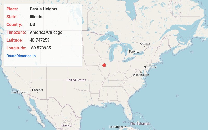
Full AddressPeoria Heights, IL
-
Coordinates40.7472594, -89.5739845
-
LocationPeoria Heights , Illinois , US
-
TimezoneAmerica/Chicago
-
Current Local Time3:50:28 PM America/ChicagoWednesday, June 4, 2025
-
Page Views0
About Peoria Heights
Peoria Heights is a village lying in Peoria County in the U.S. state of Illinois. The population was 6,156 at the 2010 census, down from 6,635 in 2000.


Nearby Places
Found 10 places within 50 miles

Peoria
3.9 mi
6.3 km
Peoria, IL
Get directions

East Peoria
5.6 mi
9.0 km
East Peoria, IL
Get directions

Bartonville
7.8 mi
12.6 km
Bartonville, IL
Get directions

Washington
9.2 mi
14.8 km
Washington, IL
Get directions

Morton
11.1 mi
17.9 km
Morton, IL
Get directions

Pekin
12.9 mi
20.8 km
Pekin, IL
Get directions

Chillicothe
12.9 mi
20.8 km
Chillicothe, IL 61523
Get directions

Canton
27.5 mi
44.3 km
Canton, IL 61520
Get directions

Normal
34.6 mi
55.7 km
Normal, IL
Get directions

Bloomington
35.8 mi
57.6 km
Bloomington, IL
Get directions
Location Links
Local Weather
Weather Information
Coming soon!
Location Map
Static map view of Peoria Heights, Illinois
Browse Places by Distance
Places within specific distances from Peoria Heights
Short Distances
Long Distances
Click any distance to see all places within that range from Peoria Heights. Distances shown in miles (1 mile ≈ 1.61 kilometers).