Distance to Pep, Texas

Calculating Your Route
Just a moment while we process your request...
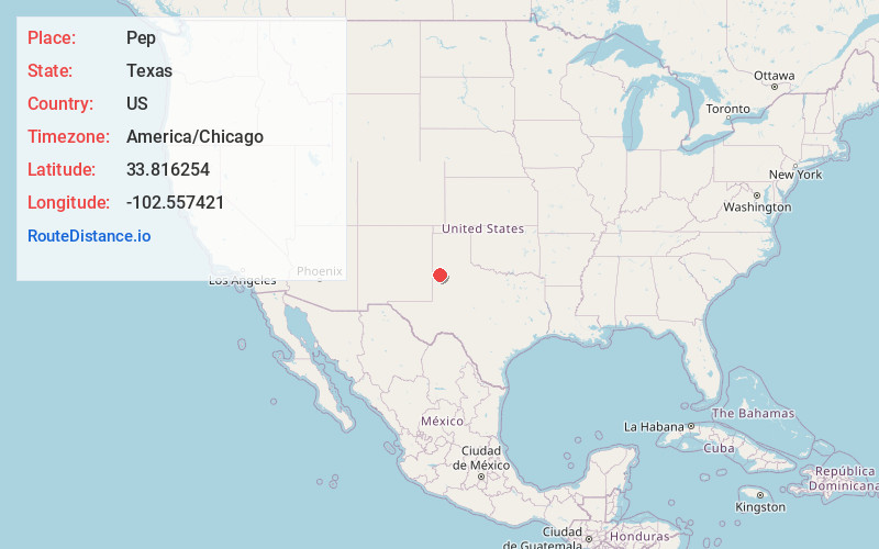
Location Information
-
Full AddressPep, TX 79336
-
Coordinates33.8162543, -102.5574211
-
LocationPep , Texas , US
-
TimezoneAmerica/Chicago
-
Current Local Time10:20:13 PM America/ChicagoThursday, June 19, 2025
-
Page Views0
About Pep
Pep is an unincorporated community in northwestern Hockley County, Texas, United States, situated along Farm to Market Road 303. It is located on the high plains of the Llano Estacado just to the west of the historic Yellow House Ranch. Pep has a post office with the ZIP code 79353.
Nearby Places
Found 10 places within 50 miles

Pettit
8.4 mi
13.5 km
Pettit, TX 79336
Get directions
Oklahoma Flat
9.2 mi
14.8 km
Oklahoma Flat, TX 79339
Get directions
Beck
9.8 mi
15.8 km
Beck, TX 79371
Get directions

Enochs
12.3 mi
19.8 km
Enochs, TX 79324
Get directions

Morton
13.2 mi
21.2 km
Morton, TX 79346
Get directions
Lums Chapel
13.2 mi
21.2 km
Lums Chapel, TX 79339
Get directions
Whitharral
14.3 mi
23.0 km
Whitharral, TX
Get directions

Littlefield
15.1 mi
24.3 km
Littlefield, TX 79339
Get directions

Whiteface
15.3 mi
24.6 km
Whiteface, TX 79379
Get directions
Coble
15.6 mi
25.1 km
Coble, TX 79336
Get directions
Location Links
Local Weather
Weather Information
Coming soon!
Location Map
Static map view of Pep, Texas
Browse Places by Distance
Places within specific distances from Pep
Short Distances
Long Distances
Click any distance to see all places within that range from Pep. Distances shown in miles (1 mile ≈ 1.61 kilometers).