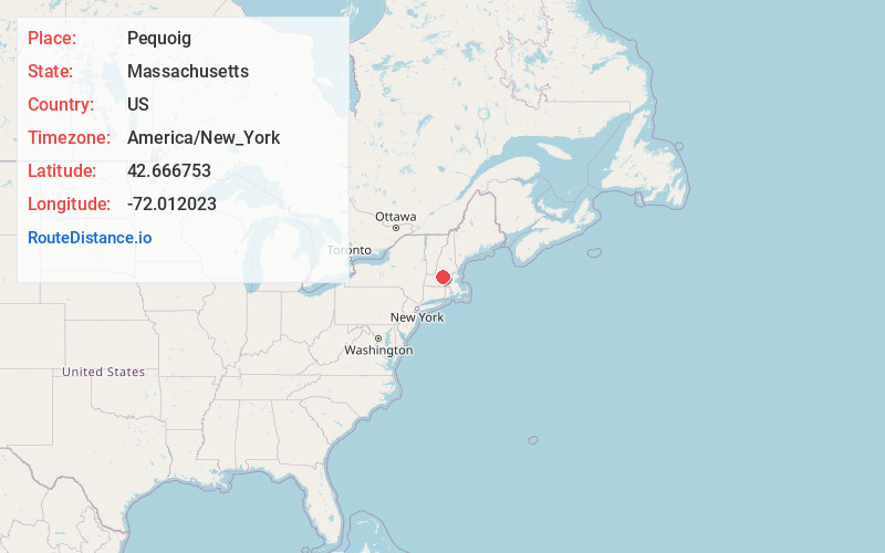
Distance to Pequoig, Massachusetts

Calculating Your Route
Just a moment while we process your request...
Location Information
-
Full AddressPequoig, Winchendon, MA 01475
-
Coordinates42.6667534, -72.0120233
-
LocationWinchendon , Massachusetts , US
-
TimezoneAmerica/New_York
-
Current Local Time12:31:26 AM America/New_YorkWednesday, July 2, 2025
-
Page Views0
Nearby Places
Found 10 places within 50 miles

Winchendon
2.1 mi
3.4 km
Winchendon, MA
Get directions

North Ashburnham
3.5 mi
5.6 km
North Ashburnham, Ashburnham, MA 01430
Get directions
Camp Collier
4.1 mi
6.6 km
Camp Collier, Ashburnham, MA 01440
Get directions
Bullardville
4.3 mi
6.9 km
Bullardville, Winchendon, MA 01475
Get directions
Parkers Station
5.4 mi
8.7 km
Parkers Station, Winchendon, MA 01368
Get directions
East Rindge
5.4 mi
8.7 km
East Rindge, Rindge, NH 03461
Get directions

Ashburnham
5.6 mi
9.0 km
Ashburnham, MA
Get directions

Rindge
5.8 mi
9.3 km
Rindge, NH 03461
Get directions
Neale Place
6.4 mi
10.3 km
Neale Place, Royalston, MA 01368
Get directions

Gardner
6.4 mi
10.3 km
Gardner, MA
Get directions
Location Links
Local Weather
Weather Information
Coming soon!
Location Map
Static map view of Pequoig, Massachusetts
Browse Places by Distance
Places within specific distances from Pequoig
Short Distances
Long Distances
Click any distance to see all places within that range from Pequoig. Distances shown in miles (1 mile ≈ 1.61 kilometers).