Distance to Pequop, Nevada

Calculating Your Route
Just a moment while we process your request...
Location Information
-
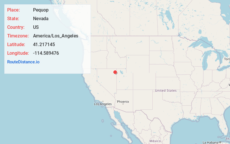
Full AddressPequop, NV 89835
-
Coordinates41.2171449, -114.5894758
-
LocationPequop , Nevada , US
-
TimezoneAmerica/Los_Angeles
-
Current Local Time3:02:35 PM America/Los_AngelesWednesday, July 2, 2025
-
Page Views0
About Pequop
Pequop or Pequop Siding is a ghost town in Elko County, Nevada, United States. It was located west of Toano on the route around the north end of the Pequop Mountains between Cobre and Wells. It was first a stop station of the Central Pacific Railroad and later a non-agency station on the Southern Pacific Railroad.

Nearby Places
Found 10 places within 50 miles

Oasis
14.4 mi
23.2 km
Oasis, NV 89830
Get directions

Wilkins
16.7 mi
26.9 km
Wilkins, NV 89835
Get directions

Montello
20.7 mi
33.3 km
Montello, NV 89830
Get directions

Wells
20.8 mi
33.5 km
Wells, NV 89835
Get directions

Alazon
23.6 mi
38.0 km
Alazon, NV 89835
Get directions

Shafter
26.2 mi
42.2 km
Shafter, NV 89835
Get directions
Clifside
26.4 mi
42.5 km
Clifside, NV 89830
Get directions
Tecoma
27.3 mi
43.9 km
Tecoma, NV
Get directions
Proctor
27.7 mi
44.6 km
Proctor, NV
Get directions
Welcome
28.0 mi
45.1 km
Welcome, NV 89835
Get directions
Location Links
Local Weather
Weather Information
Coming soon!
Location Map
Static map view of Pequop, Nevada
Browse Places by Distance
Places within specific distances from Pequop
Short Distances
Long Distances
Click any distance to see all places within that range from Pequop. Distances shown in miles (1 mile ≈ 1.61 kilometers).