Distance to Pere Cheney, Michigan

Calculating Your Route
Just a moment while we process your request...
Location Information
-
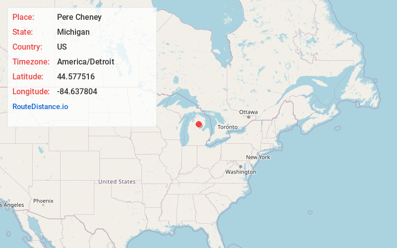
Full AddressPere Cheney, Beaver Creek Township, MI 48653
-
Coordinates44.577516, -84.6378036
-
LocationBeaver Creek Township , Michigan , US
-
TimezoneAmerica/Detroit
-
Current Local Time9:33:53 PM America/DetroitSunday, June 1, 2025
-
Page Views0
About Pere Cheney
Pere Cheney, also called Cheney and Center Plains, was a village located in Crawford County, Michigan in the late 19th century. It is located in Beaver Creek Township and was once a small lumbering town.


Nearby Places
Found 10 places within 50 miles

Skyline Village
3.2 mi
5.1 km
Skyline Village, Beaver Creek Township, MI 49738
Get directions
Deerheart Valley
4.3 mi
6.9 km
Deerheart Valley, South Branch Township, MI 48653
Get directions

Crawford County
5.8 mi
9.3 km
Crawford County, MI
Get directions

Roscommon
5.9 mi
9.5 km
Roscommon, MI 48653
Get directions

Grayling
6.9 mi
11.1 km
Grayling, MI 49738
Get directions
Rasmus
7.7 mi
12.4 km
Rasmus, Grayling Township, MI 49738
Get directions
Danish Landing
8.9 mi
14.3 km
Danish Landing, Grayling Township, MI 49738
Get directions

Lake Margrethe
9.1 mi
14.6 km
Lake Margrethe, Grayling Township, MI 49738
Get directions

Higgins Lake
9.5 mi
15.3 km
Higgins Lake, MI 48653
Get directions
McIntyre Landing
10.3 mi
16.6 km
McIntyre Landing, MI 49738
Get directions
Location Links
Local Weather
Weather Information
Coming soon!
Location Map
Static map view of Pere Cheney, Michigan
Browse Places by Distance
Places within specific distances from Pere Cheney
Short Distances
Long Distances
Click any distance to see all places within that range from Pere Cheney. Distances shown in miles (1 mile ≈ 1.61 kilometers).