Distance to Perkins, Michigan

Calculating Your Route
Just a moment while we process your request...
Location Information
-
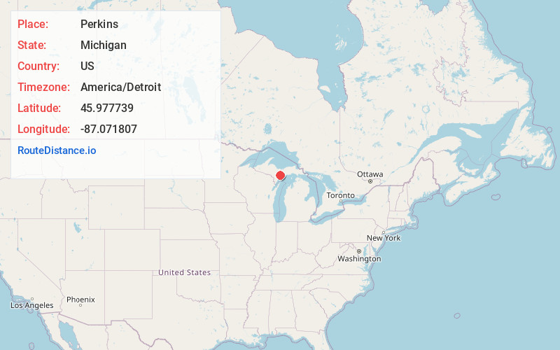
Full AddressPerkins, MI 49837
-
Coordinates45.9777389, -87.0718066
-
LocationPerkins , Michigan , US
-
TimezoneAmerica/Detroit
-
Current Local Time12:50:17 PM America/DetroitTuesday, June 3, 2025
-
Page Views0
About Perkins
Perkins is an unincorporated community in Delta County, Michigan, United States. Perkins is located in Baldwin Township along M-35, 9 miles north-northwest of Gladstone. Perkins has a post office with ZIP code 49872.
Nearby Places
Found 10 places within 50 miles

Winde
1.4 mi
2.3 km
Winde, MI 49837
Get directions
Brampton
3.2 mi
5.1 km
Brampton, MI 49837
Get directions
Campbell
3.9 mi
6.3 km
Campbell, MI 49880
Get directions
Maplewood
4.8 mi
7.7 km
Maplewood, MI 49878
Get directions
Trombly
5.8 mi
9.3 km
Trombly, MI 49880
Get directions

Masonville
6.1 mi
9.8 km
Masonville, MI 49878
Get directions

Rapid River
6.1 mi
9.8 km
Rapid River, MI 49878
Get directions
Chaison
7.0 mi
11.3 km
Chaison, MI 49837
Get directions
St Nicholas
7.5 mi
12.1 km
St Nicholas, MI 49880
Get directions

Rock
7.7 mi
12.4 km
Rock, MI 49880
Get directions
Location Links
Local Weather
Weather Information
Coming soon!
Location Map
Static map view of Perkins, Michigan
Browse Places by Distance
Places within specific distances from Perkins
Short Distances
Long Distances
Click any distance to see all places within that range from Perkins. Distances shown in miles (1 mile ≈ 1.61 kilometers).