Distance to Perkinston, Mississippi

Calculating Your Route
Just a moment while we process your request...
Location Information
-
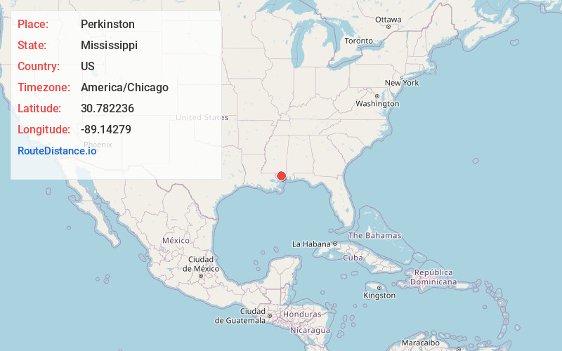
Full AddressPerkinston, MS 39573
-
Coordinates30.7822362, -89.1427895
-
LocationPerkinston , Mississippi , US
-
TimezoneAmerica/Chicago
-
Current Local Time2:59:12 PM America/ChicagoSaturday, June 28, 2025
-
Page Views0
About Perkinston
Perkinston is an unincorporated community in central Stone County, Mississippi, United States. It is situated along U.S. Highway 49, approximately five miles south of Wiggins. The community is part of the Gulfport–Biloxi, Mississippi Metropolitan Statistical Area.


Nearby Places
Found 10 places within 50 miles

Wiggins
5.3 mi
8.5 km
Wiggins, MS 39577
Get directions

Big Level
5.8 mi
9.3 km
Big Level, MS 39573
Get directions
Whites Crossing
7.6 mi
12.2 km
Whites Crossing, MS 39577
Get directions

Bond
7.9 mi
12.7 km
Bond, MS 39577
Get directions
Airey
10.0 mi
16.1 km
Airey, MS 39574
Get directions

Saucier
10.1 mi
16.3 km
Saucier, MS 39574
Get directions
Texas
10.5 mi
16.9 km
Texas, MS 39455
Get directions
Beatrice
12.0 mi
19.3 km
Beatrice, MS 39573
Get directions
Silver Run
12.5 mi
20.1 km
Silver Run, MS 39470
Get directions
Riceville
15.2 mi
24.5 km
Riceville, MS 39574
Get directions
Location Links
Local Weather
Weather Information
Coming soon!
Location Map
Static map view of Perkinston, Mississippi
Browse Places by Distance
Places within specific distances from Perkinston
Short Distances
Long Distances
Click any distance to see all places within that range from Perkinston. Distances shown in miles (1 mile ≈ 1.61 kilometers).