Distance to Pernitas Point, Texas

Calculating Your Route
Just a moment while we process your request...
Location Information
-
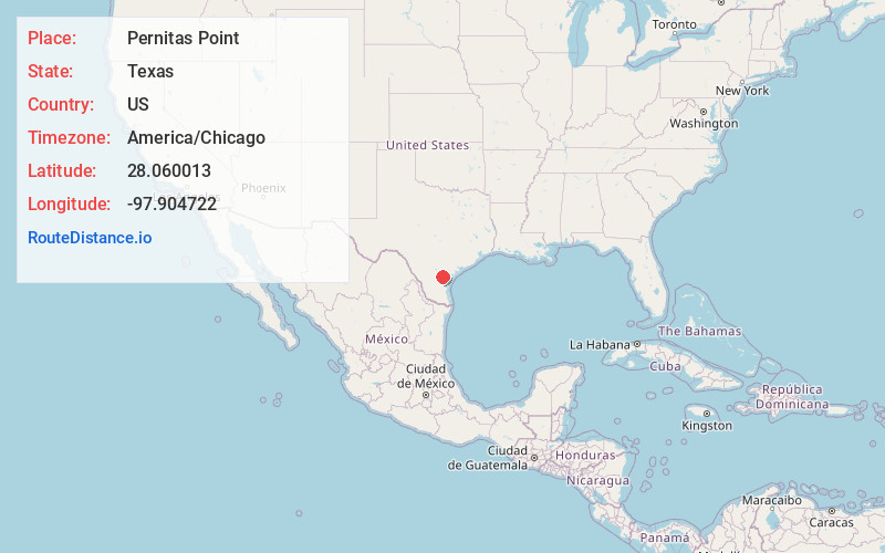
Full AddressPernitas Point, TX 78383
-
Coordinates28.0600129, -97.9047221
-
LocationPernitas Point , Texas , US
-
TimezoneAmerica/Chicago
-
Current Local Time7:03:02 AM America/ChicagoSaturday, June 7, 2025
-
Page Views0
About Pernitas Point
Pernitas Point is an unincorporated community mostly in Live Oak County with overlap into Jim Wells County in the U.S. state of Texas. The population was 269 at the 2000 census, the last time the population was recorded. It ceased to be incorporated May 4, 2008.

Nearby Places
Found 10 places within 50 miles

Lake City
1.8 mi
2.9 km
Lake City, TX 78368
Get directions

La Fruta
3.1 mi
5.0 km
La Fruta, TX 78368
Get directions

Sandia
3.1 mi
5.0 km
Sandia, TX 78383
Get directions
Casa Blanca
4.1 mi
6.6 km
Casa Blanca, TX 78383
Get directions
K-Bar Ranch
4.9 mi
7.9 km
K-Bar Ranch, TX 78372
Get directions

Mathis
5.2 mi
8.4 km
Mathis, TX 78368
Get directions
Lakeshore Gardens-Hidden Acres
5.4 mi
8.7 km
Lakeshore Gardens-Hidden Acres, TX 78368
Get directions

Orange Grove
7.4 mi
11.9 km
Orange Grove, TX 78372
Get directions
Vahlsing
7.8 mi
12.6 km
Vahlsing, TX 78368
Get directions
Westdale
8.0 mi
12.9 km
Westdale, TX 78372
Get directions
Location Links
Local Weather
Weather Information
Coming soon!
Location Map
Static map view of Pernitas Point, Texas
Browse Places by Distance
Places within specific distances from Pernitas Point
Short Distances
Long Distances
Click any distance to see all places within that range from Pernitas Point. Distances shown in miles (1 mile ≈ 1.61 kilometers).