Distance to Perth, Ontario

Calculating Your Route
Just a moment while we process your request...
Location Information
-
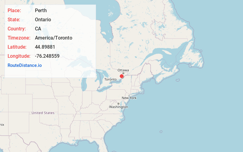
Full AddressPerth, ON, Canada
-
Coordinates44.89881, -76.248559
-
LocationPerth , Ontario , CA
-
TimezoneAmerica/Toronto
-
Current Local Time1:32:54 PM America/TorontoSaturday, May 31, 2025
-
Page Views0
About Perth
Perth is a town in Eastern Ontario, Canada. It is located on the Tay River, 83 kilometres southwest of Ottawa, and is the seat of Lanark County.


Nearby Places
Found 10 places within 50 miles

Smiths Falls
11.1 mi
17.9 km
Smiths Falls, ON, Canada
Get directions

Morristown
36.5 mi
58.7 km
Morristown, NY
Get directions

Thousand Islands
39.1 mi
62.9 km
Thousand Islands, Leeds and Grenville United Counties, ON, Canada
Get directions

Chippewa Bay
39.3 mi
63.2 km
Chippewa Bay, Hammond, NY 13646
Get directions

Gananoque
39.5 mi
63.6 km
Gananoque, ON, Canada
Get directions

Ash Island
39.5 mi
63.6 km
Ash Island, Leeds and Grenville United Counties, ON, Canada
Get directions

Ironsides Island
39.9 mi
64.2 km
Ironsides Island, New York
Get directions

Ogdensburg
40.0 mi
64.4 km
Ogdensburg, NY 13669
Get directions
Galilee
41.2 mi
66.3 km
Galilee, NY 13669
Get directions
Hammond
41.3 mi
66.5 km
Hammond, NY 13646
Get directions
Location Links
Local Weather
Weather Information
Coming soon!
Location Map
Static map view of Perth, Ontario
Browse Places by Distance
Places within specific distances from Perth
Short Distances
Long Distances
Click any distance to see all places within that range from Perth. Distances shown in miles (1 mile ≈ 1.61 kilometers).