Distance to Pettibone, Texas

Calculating Your Route
Just a moment while we process your request...
Location Information
-
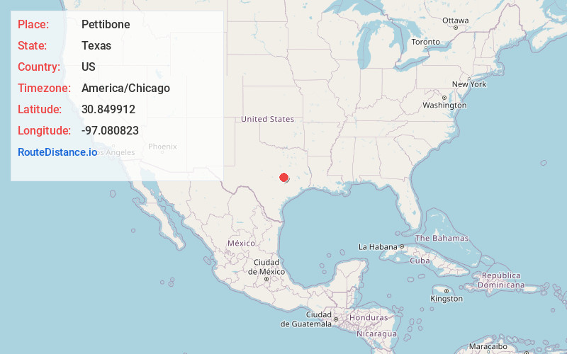
Full AddressPettibone, TX 76520
-
Coordinates30.8499116, -97.0808233
-
LocationTexas , US
-
TimezoneAmerica/Chicago
-
Current Local Time11:06:32 AM America/ChicagoMonday, June 23, 2025
-
Page Views0
About Pettibone
Pettibone is an unincorporated community in Milam County, Texas, United States. According to the Handbook of Texas, the community had a population of 25 in 2000.
Nearby Places
Found 10 places within 50 miles

Buckholts
3.1 mi
5.0 km
Buckholts, TX 76518
Get directions

Cameron
6.2 mi
10.0 km
Cameron, TX 76520
Get directions

Yarrelton
7.0 mi
11.3 km
Yarrelton, TX 76519
Get directions

Tracy
7.5 mi
12.1 km
Tracy, TX 76567
Get directions
Edgeworth
7.9 mi
12.7 km
Edgeworth, TX 76569
Get directions

Sharp
8.1 mi
13.0 km
Sharp, TX 76577
Get directions
Minerva
8.4 mi
13.5 km
Minerva, TX 76520
Get directions

Ben Arnold
9.6 mi
15.4 km
Ben Arnold, TX 76519
Get directions

Val Verde
10.0 mi
16.1 km
Val Verde, TX 76534
Get directions
Meeks
10.1 mi
16.3 km
Meeks, TX 76519
Get directions
Location Links
Local Weather
Weather Information
Coming soon!
Location Map
Static map view of Pettibone, Texas
Browse Places by Distance
Places within specific distances from Pettibone
Short Distances
Long Distances
Click any distance to see all places within that range from Pettibone. Distances shown in miles (1 mile ≈ 1.61 kilometers).