Distance to Pettys Shore, North Carolina

Calculating Your Route
Just a moment while we process your request...
Location Information
-
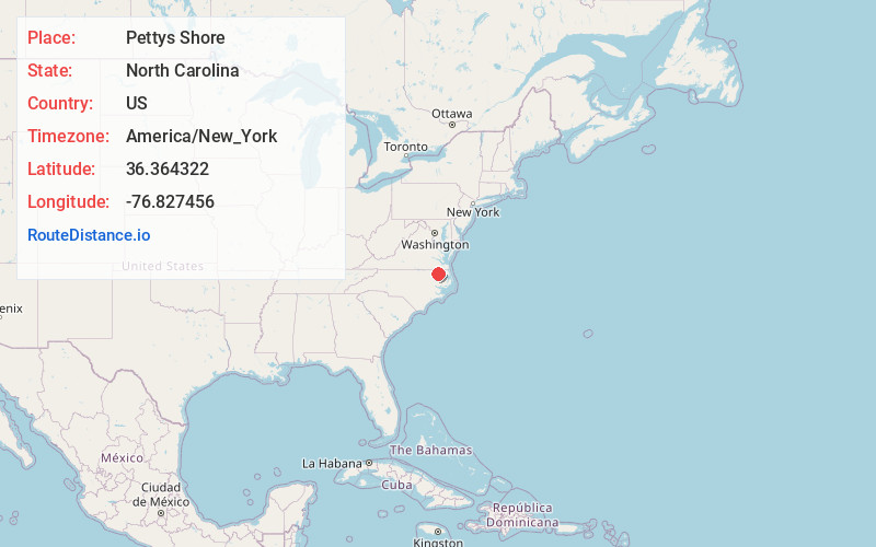
Full AddressPettys Shore, NC 27922
-
Coordinates36.3643215, -76.8274555
-
LocationNorth Carolina , US
-
TimezoneAmerica/New_York
-
Current Local Time11:48:20 AM America/New_YorkMonday, June 23, 2025
-
Page Views0
Nearby Places
Found 10 places within 50 miles

Harrells Mill
4.5 mi
7.2 km
Harrells Mill, NC 27986
Get directions
Cofield
4.6 mi
7.4 km
Cofield, NC
Get directions
Harrellsville
4.7 mi
7.6 km
Harrellsville, NC 27942
Get directions

Gatesville
4.9 mi
7.9 km
Gatesville, NC 27938
Get directions
Dildys Mill
5.3 mi
8.5 km
Dildys Mill, NC 27922
Get directions
Winton
6.2 mi
10.0 km
Winton, NC 27986
Get directions
Roduco
6.9 mi
11.1 km
Roduco, NC
Get directions
Pleasant Plains
8.6 mi
13.8 km
Pleasant Plains, NC 27910
Get directions
Powell Crossroads
9.6 mi
15.4 km
Powell Crossroads, NC 27946
Get directions
Topsy
9.9 mi
15.9 km
Topsy, NC 27937
Get directions
Location Links
Local Weather
Weather Information
Coming soon!
Location Map
Static map view of Pettys Shore, North Carolina
Browse Places by Distance
Places within specific distances from Pettys Shore
Short Distances
Long Distances
Click any distance to see all places within that range from Pettys Shore. Distances shown in miles (1 mile ≈ 1.61 kilometers).