Distance to Pfeiffer Big Sur State Park, California

Calculating Your Route
Just a moment while we process your request...
Location Information
-
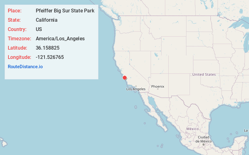
Full AddressPfeiffer Big Sur State Park, California
-
Coordinates36.1588246, -121.5267654
-
LocationCalifornia , US
-
TimezoneAmerica/Los_Angeles
-
Current Local Time8:54:10 PM America/Los_AngelesTuesday, June 3, 2025
-
Website
-
Page Views0
About Pfeiffer Big Sur State Park
1,000-acre state park offers a wide variety of hiking trails, wildlife, campgrounds & a guest lodge.


Nearby Places
Found 10 places within 50 miles

Tassajara Hot Springs
5.5 mi
8.9 km
Tassajara Hot Springs, CA 93927
Get directions
Slates Hot Springs
6.6 mi
10.6 km
Slates Hot Springs, CA 93920
Get directions
Millers Ranch
8.4 mi
13.5 km
Millers Ranch, CA 93927
Get directions

Lucia
9.6 mi
15.4 km
Lucia, CA 93920
Get directions

Sycamore Flat
10.5 mi
16.9 km
Sycamore Flat, CA 93927
Get directions
Mascorini Place
13.6 mi
21.9 km
Mascorini Place, CA 93927
Get directions
Jamesburg
15.0 mi
24.1 km
Jamesburg, CA 93924
Get directions

Plaskett
17.1 mi
27.5 km
Plaskett, CA 93920
Get directions

Big Sur
17.5 mi
28.2 km
Big Sur, CA
Get directions

Greenfield
19.3 mi
31.1 km
Greenfield, CA
Get directions
Location Links
Local Weather
Weather Information
Coming soon!
Location Map
Static map view of Pfeiffer Big Sur State Park, California
Browse Places by Distance
Places within specific distances from Pfeiffer Big Sur State Park
Short Distances
Long Distances
Click any distance to see all places within that range from Pfeiffer Big Sur State Park. Distances shown in miles (1 mile ≈ 1.61 kilometers).