Distance to Phelan, California

Calculating Your Route
Just a moment while we process your request...
Location Information
-
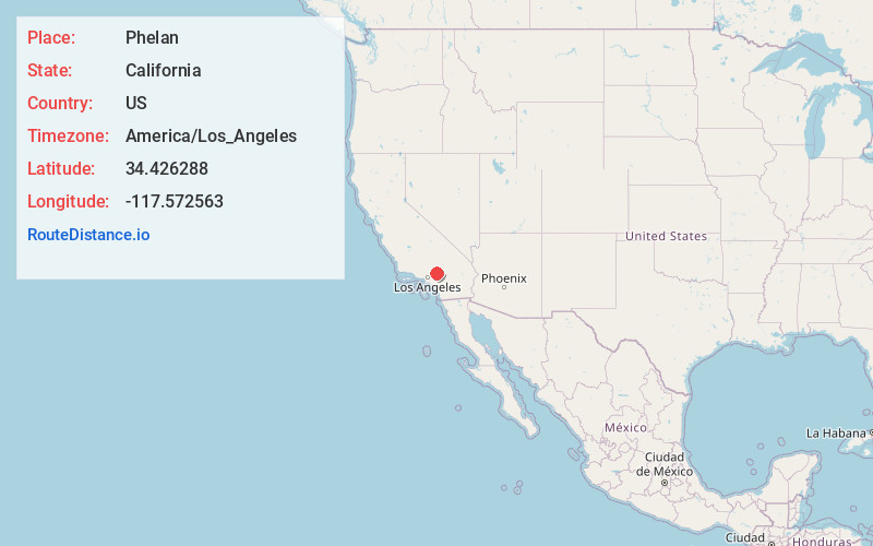
Full AddressPhelan, CA 92371
-
Coordinates34.426288, -117.5725628
-
LocationPhelan , California , US
-
TimezoneAmerica/Los_Angeles
-
Current Local Time2:25:03 AM America/Los_AngelesWednesday, June 18, 2025
-
Page Views0
About Phelan
Phelan is an unincorporated community and census-designated place in San Bernardino County, California, in the Victor Valley of the Mojave Desert, north of the San Gabriel Mountains. The population was 14,304 in the 2010 census.


Nearby Places
Found 10 places within 50 miles

Adelanto
14.3 mi
23.0 km
Adelanto, CA
Get directions

Hesperia
14.6 mi
23.5 km
Hesperia, CA
Get directions

Victorville
17.7 mi
28.5 km
Victorville, CA
Get directions

Rancho Cucamonga
22.1 mi
35.6 km
Rancho Cucamonga, CA
Get directions

Apple Valley
22.6 mi
36.4 km
Apple Valley, CA
Get directions

Upland
23.1 mi
37.2 km
Upland, CA
Get directions

Claremont
24.3 mi
39.1 km
Claremont, CA
Get directions

Fontana
24.4 mi
39.3 km
Fontana, CA
Get directions

Rialto
24.9 mi
40.1 km
Rialto, CA
Get directions

Montclair
25.0 mi
40.2 km
Montclair, CA
Get directions
Location Links
Local Weather
Weather Information
Coming soon!
Location Map
Static map view of Phelan, California
Browse Places by Distance
Places within specific distances from Phelan
Short Distances
Long Distances
Click any distance to see all places within that range from Phelan. Distances shown in miles (1 mile ≈ 1.61 kilometers).