Distance to Phelps, Missouri

Calculating Your Route
Just a moment while we process your request...
Location Information
-
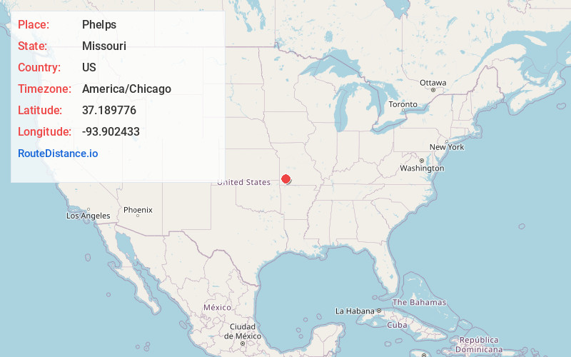
Full AddressPhelps, Green Township, MO 64848
-
Coordinates37.1897764, -93.9024328
-
LocationGreen Township , Missouri , US
-
TimezoneAmerica/Chicago
-
Current Local Time3:22:18 PM America/ChicagoWednesday, June 18, 2025
-
Page Views0
About Phelps
Phelps is an unincorporated community in Lawrence County, Missouri, United States. It lies along former U.S. Route 66, twenty-one miles east of Carthage.
A post office called Phelps was established in 1857, and remained in operation until 1864.
Nearby Places
Found 10 places within 50 miles

Albatross
3.5 mi
5.6 km
Albatross, MO 65707
Get directions
Miller
3.8 mi
6.1 km
Miller, MO 65707
Get directions
Rescue
4.3 mi
6.9 km
Rescue, MO 64848
Get directions
Grays Point
5.7 mi
9.2 km
Grays Point, MO 65707
Get directions

Stotts City
6.5 mi
10.5 km
Stotts City, MO 65756
Get directions
Olinger
7.0 mi
11.3 km
Olinger, MO 65752
Get directions
Plew
7.4 mi
11.9 km
Plew, Red Oak Township, MO 64848
Get directions

Mt Vernon
7.5 mi
12.1 km
Mt Vernon, MO 65712
Get directions
Hoberg
8.8 mi
14.2 km
Hoberg, MO 65712
Get directions

La Russell
9.4 mi
15.1 km
La Russell, MO 64848
Get directions
Location Links
Local Weather
Weather Information
Coming soon!
Location Map
Static map view of Phelps, Missouri
Browse Places by Distance
Places within specific distances from Phelps
Short Distances
Long Distances
Click any distance to see all places within that range from Phelps. Distances shown in miles (1 mile ≈ 1.61 kilometers).