Distance to Philip, South Carolina

Calculating Your Route
Just a moment while we process your request...
Location Information
-
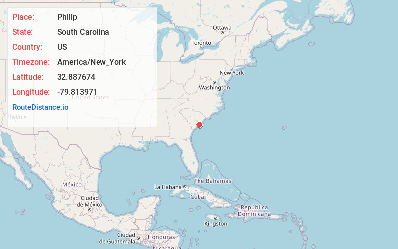
Full AddressPhilip, SC 29466
-
Coordinates32.8876739, -79.8139709
-
LocationSouth Carolina , US
-
TimezoneAmerica/New_York
-
Current Local Time5:10:56 PM America/New_YorkWednesday, June 18, 2025
-
Page Views0
Nearby Places
Found 10 places within 50 miles

Isle of Palms
6.9 mi
11.1 km
Isle of Palms, SC
Get directions

Mt Pleasant
7.7 mi
12.4 km
Mt Pleasant, SC
Get directions

Charleston
9.9 mi
15.9 km
Charleston, SC
Get directions

Berkeley Hills
11.3 mi
18.2 km
Berkeley Hills, Hanahan, SC 29410
Get directions

Hanahan
11.4 mi
18.3 km
Hanahan, SC
Get directions

North Charleston
11.5 mi
18.5 km
North Charleston, SC
Get directions

Awendaw
12.1 mi
19.5 km
Awendaw, SC 29429
Get directions
Parrot Point
12.3 mi
19.8 km
Parrot Point, Charleston, SC 29412
Get directions

James Island
13.5 mi
21.7 km
James Island, SC 29412
Get directions

Goose Creek
14.2 mi
22.9 km
Goose Creek, SC
Get directions
Location Links
Local Weather
Weather Information
Coming soon!
Location Map
Static map view of Philip, South Carolina
Browse Places by Distance
Places within specific distances from Philip
Short Distances
Long Distances
Click any distance to see all places within that range from Philip. Distances shown in miles (1 mile ≈ 1.61 kilometers).