Distance to Phillips, Texas

Calculating Your Route
Just a moment while we process your request...
Location Information
-
Full AddressPhillips, TX 79007
-
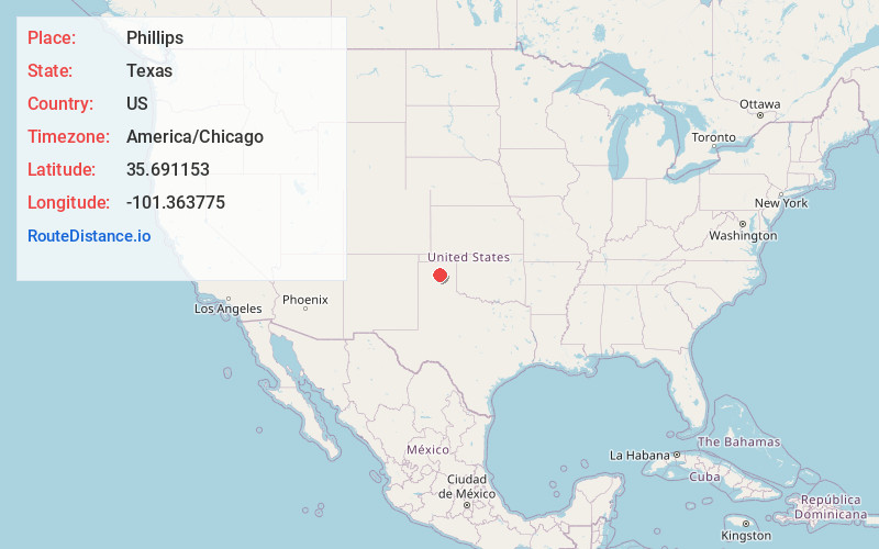
Coordinates35.6911533, -101.3637752
-
LocationPhillips , Texas , US
-
TimezoneAmerica/Chicago
-
Current Local Time1:33:52 AM America/ChicagoFriday, June 27, 2025
-
Page Views1
About Phillips
Phillips is a ghost town in Hutchinson County, Texas, United States. It was founded as Pantex, Texas. In 1938, Pantex and Whittenburg combined and renamed as Phillips for the dominant employer, the Phillips Petroleum Company, by a vote of the people.
Nearby Places
Found 10 places within 50 miles

Borger
2.5 mi
4.0 km
Borger, TX 79007
Get directions

Texroy
5.4 mi
8.7 km
Texroy, TX 79080
Get directions
Sanford
9.6 mi
15.4 km
Sanford, TX 79078
Get directions

Stinnett
10.4 mi
16.7 km
Stinnett, TX 79083
Get directions
Skellytown
13.4 mi
21.6 km
Skellytown, TX 79080
Get directions

Fritch
13.9 mi
22.4 km
Fritch, TX 79036
Get directions

Lake Meredith
15.9 mi
25.6 km
Lake Meredith, Texas
Get directions
Cargray
16.0 mi
25.7 km
Cargray, TX 79097
Get directions

White Deer
20.7 mi
33.3 km
White Deer, TX 79097
Get directions
Cuyler
21.5 mi
34.6 km
Cuyler, TX 79068
Get directions
Location Links
Local Weather
Weather Information
Coming soon!
Location Map
Static map view of Phillips, Texas
Browse Places by Distance
Places within specific distances from Phillips
Short Distances
Long Distances
Click any distance to see all places within that range from Phillips. Distances shown in miles (1 mile ≈ 1.61 kilometers).