Distance to Phillipsburg, Texas

Calculating Your Route
Just a moment while we process your request...
Location Information
-
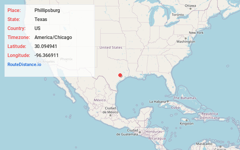
Full AddressPhillipsburg, TX 77833
-
Coordinates30.0949412, -96.3669105
-
LocationPhillipsburg , Texas , US
-
TimezoneAmerica/Chicago
-
Current Local Time6:41:18 PM America/ChicagoWednesday, May 28, 2025
-
Page Views0
About Phillipsburg
Phillipsburg is an unincorporated community in southern Washington County, in the U.S. state of Texas. The very small rural community is located along State Highway 36 south of Brenham. Aside from the names of two local roads, the name Phillipsburg is no longer marked on modern maps.
Nearby Places
Found 10 places within 50 miles

Muellersville
3.5 mi
5.6 km
Muellersville, TX 77833
Get directions

Brenham
5.3 mi
8.5 km
Brenham, TX 77833
Get directions

Wesley
8.3 mi
13.4 km
Wesley, TX 77833
Get directions
Nelsonville
8.5 mi
13.7 km
Nelsonville, TX 77418
Get directions
Earlywine
9.1 mi
14.6 km
Earlywine, TX 77833
Get directions
Buckhorn
10.7 mi
17.2 km
Buckhorn, TX 77418
Get directions
Latium
11.6 mi
18.7 km
Latium, TX 77835
Get directions

Industry
11.7 mi
18.8 km
Industry, TX 78944
Get directions

Bellville
12.0 mi
19.3 km
Bellville, TX 77418
Get directions
Sandy Hill
12.9 mi
20.8 km
Sandy Hill, TX 77833
Get directions
Location Links
Local Weather
Weather Information
Coming soon!
Location Map
Static map view of Phillipsburg, Texas
Browse Places by Distance
Places within specific distances from Phillipsburg
Short Distances
Long Distances
Click any distance to see all places within that range from Phillipsburg. Distances shown in miles (1 mile ≈ 1.61 kilometers).