Distance to Phoneton, Ohio

Calculating Your Route
Just a moment while we process your request...
Location Information
-
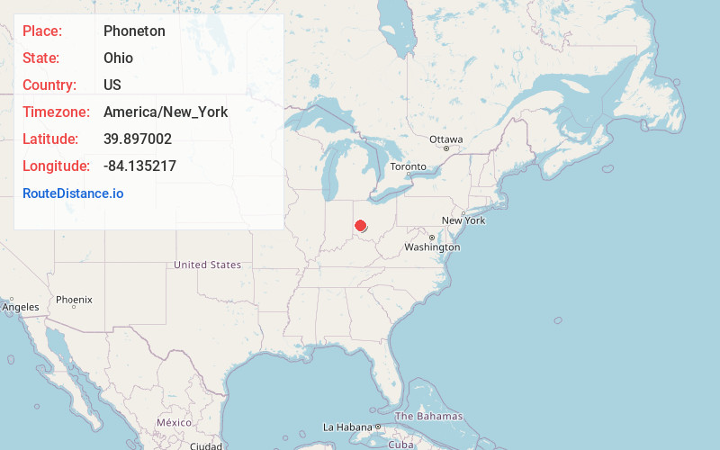
Full AddressPhoneton, OH 45371
-
Coordinates39.8970018, -84.1352174
-
LocationPhoneton , Ohio , US
-
TimezoneAmerica/New_York
-
Current Local Time8:42:47 PM America/New_YorkThursday, June 5, 2025
-
Page Views0
About Phoneton
Phoneton is an unincorporated community in southwestern Bethel Township, Miami County, Ohio, United States, that is located at the junction of the National Road and Old Troy Pike in southwestern Bethel Township, Miami County, Ohio, United States. It is part of the Dayton Metropolitan Statistical Area.
Nearby Places
Found 10 places within 50 miles

West Charleston
1.8 mi
2.9 km
West Charleston, OH 45371
Get directions
Sulphur Grove
3.0 mi
4.8 km
Sulphur Grove, Huber Heights, OH 45424
Get directions

Vandalia
3.4 mi
5.5 km
Vandalia, OH
Get directions

Huber Heights
3.7 mi
6.0 km
Huber Heights, OH
Get directions
Ginghamsburg
4.1 mi
6.6 km
Ginghamsburg, Monroe Township, OH 45371
Get directions
Murlin Heights
4.3 mi
6.9 km
Murlin Heights, Butler Township, OH 45414
Get directions

Tipp City
4.7 mi
7.6 km
Tipp City, OH
Get directions
Park Layne
5.1 mi
8.2 km
Park Layne, OH
Get directions

Crystal Lakes
5.8 mi
9.3 km
Crystal Lakes, OH
Get directions
Northridge
6.3 mi
10.1 km
Northridge, OH 45414
Get directions
Location Links
Local Weather
Weather Information
Coming soon!
Location Map
Static map view of Phoneton, Ohio
Browse Places by Distance
Places within specific distances from Phoneton
Short Distances
Long Distances
Click any distance to see all places within that range from Phoneton. Distances shown in miles (1 mile ≈ 1.61 kilometers).