Distance to Picayune, Mississippi

Calculating Your Route
Just a moment while we process your request...
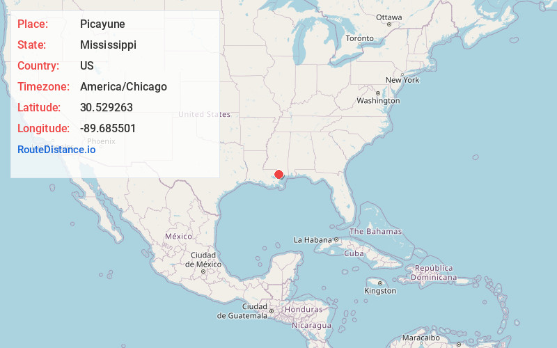
Location Information
-
Full AddressPicayune, MS
-
Coordinates30.5292629, -89.6855013
-
LocationPicayune , Mississippi , US
-
TimezoneAmerica/Chicago
-
Current Local Time4:05:20 PM America/ChicagoWednesday, June 18, 2025
-
Website
-
Page Views0
About Picayune
Picayune is the largest city in Pearl River County, Mississippi, United States. The population was 11,885 at the 2020 census. The city is located approximately 45 miles from New Orleans, Hattiesburg, and Gulfport–Biloxi. The Stennis Space Center is 10 miles away.


Nearby Places
Found 10 places within 50 miles

Slidell
18.5 mi
29.8 km
Slidell, LA
Get directions

Mandeville
25.5 mi
41.0 km
Mandeville, LA
Get directions

Long Beach
34.1 mi
54.9 km
Long Beach, MS
Get directions

Gulfport
37.0 mi
59.5 km
Gulfport, MS
Get directions

Chalmette
43.8 mi
70.5 km
Chalmette, LA
Get directions

Hammond
46.2 mi
74.4 km
Hammond, LA
Get directions

New Orleans
46.3 mi
74.5 km
New Orleans, LA
Get directions

Metairie
46.9 mi
75.5 km
Metairie, LA
Get directions

Terrytown
47.5 mi
76.4 km
Terrytown, LA
Get directions

Gretna
47.8 mi
76.9 km
Gretna, LA
Get directions
Location Links
Local Weather
Weather Information
Coming soon!
Location Map
Static map view of Picayune, Mississippi
Browse Places by Distance
Places within specific distances from Picayune
Short Distances
Long Distances
Click any distance to see all places within that range from Picayune. Distances shown in miles (1 mile ≈ 1.61 kilometers).