Distance to Pickwick Dam, Tennessee

Calculating Your Route
Just a moment while we process your request...
Location Information
-
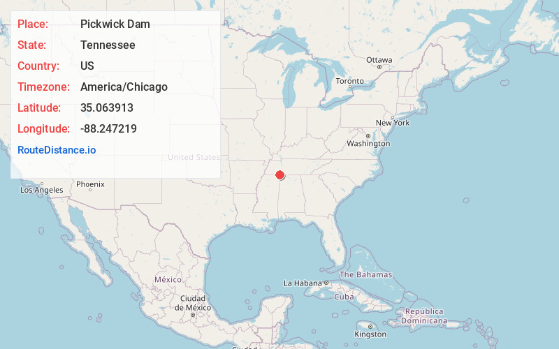
Full AddressPickwick Dam, TN 38326
-
Coordinates35.0639134, -88.2472192
-
LocationPickwick Dam , Tennessee , US
-
TimezoneAmerica/Chicago
-
Current Local Time3:49:39 PM America/ChicagoWednesday, June 18, 2025
-
Page Views0
About Pickwick Dam
Pickwick Dam is an unincorporated community in Hardin County, Tennessee, United States. Pickwick Dam is located on the Tennessee River south of the Pickwick Landing Dam. Pickwick Dam has a post office with ZIP code 38365.
Pickwick Landing State Park is located in Pickwick Dam.


Nearby Places
Found 10 places within 50 miles

Counce
2.1 mi
3.4 km
Counce, TN 38326
Get directions

Nixon
3.6 mi
5.8 km
Nixon, TN 38372
Get directions
Bruton Branch
3.8 mi
6.1 km
Bruton Branch, TN 38372
Get directions
Hamburg
3.9 mi
6.3 km
Hamburg, TN 38326
Get directions
Red Sulphur Springs
4.0 mi
6.4 km
Red Sulphur Springs, TN 38326
Get directions
Dry Creek
4.1 mi
6.6 km
Dry Creek, Tennessee 38372
Get directions
Caney Hollow
4.2 mi
6.8 km
Caney Hollow, Tennessee 38326
Get directions
Winn Springs
4.2 mi
6.8 km
Winn Springs, TN 38326
Get directions
Childers Hill
4.6 mi
7.4 km
Childers Hill, TN
Get directions
Sandy Creek Subdivision
5.0 mi
8.0 km
Sandy Creek Subdivision, MS 38852
Get directions
Location Links
Local Weather
Weather Information
Coming soon!
Location Map
Static map view of Pickwick Dam, Tennessee
Browse Places by Distance
Places within specific distances from Pickwick Dam
Short Distances
Long Distances
Click any distance to see all places within that range from Pickwick Dam. Distances shown in miles (1 mile ≈ 1.61 kilometers).