Distance to Pikes Peak, Indiana

Calculating Your Route
Just a moment while we process your request...
Location Information
-
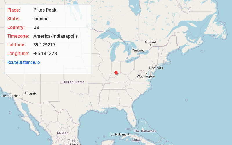
Full AddressPikes Peak, Van Buren Township, IN 47201
-
Coordinates39.1292171, -86.1413783
-
LocationVan Buren Township , Indiana , US
-
TimezoneAmerica/Indianapolis
-
Page Views0
About Pikes Peak
Pikes Peak is an unincorporated community in Van Buren Township, Brown County, in the U.S. state of Indiana.
Nearby Places
Found 10 places within 50 miles

Stone Head
0.9 mi
1.4 km
Stone Head, Van Buren Township, IN 47448
Get directions

Becks Grove
3.7 mi
6.0 km
Becks Grove, Van Buren Township, IN 47235
Get directions
Ogilville
6.8 mi
10.9 km
Ogilville, Ohio Township, IN 47201
Get directions
Bald Knobs
7.7 mi
12.4 km
Bald Knobs, Pershing Township, IN 47235
Get directions

Nashville
7.8 mi
12.6 km
Nashville, IN 47448
Get directions
Houston
8.4 mi
13.5 km
Houston, IN 47264
Get directions
Gatesville
9.2 mi
14.8 km
Gatesville, Hamblen Township, IN 46164
Get directions
Maumee
9.9 mi
15.9 km
Maumee, IN 47264
Get directions

Freetown
10.8 mi
17.4 km
Freetown, IN 47235
Get directions
Beanblossom
11.1 mi
17.9 km
Beanblossom, IN 46160
Get directions
Location Links
Local Weather
Weather Information
Coming soon!
Location Map
Static map view of Pikes Peak, Indiana
Browse Places by Distance
Places within specific distances from Pikes Peak
Short Distances
Long Distances
Click any distance to see all places within that range from Pikes Peak. Distances shown in miles (1 mile ≈ 1.61 kilometers).