Distance to Pilgrims Rest, Arkansas

Calculating Your Route
Just a moment while we process your request...
Location Information
-
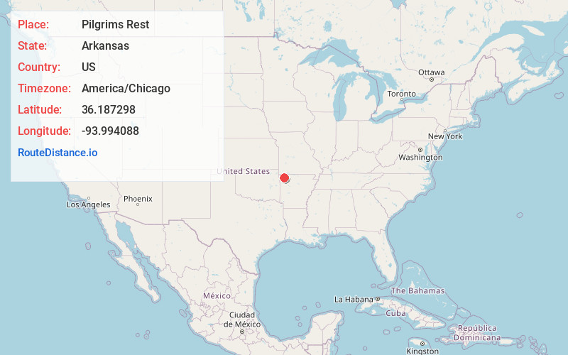
Full AddressPilgrims Rest, AR 72764
-
Coordinates36.1872982, -93.9940879
-
LocationArkansas , US
-
TimezoneAmerica/Chicago
-
Current Local Time10:46:21 PM America/ChicagoFriday, June 20, 2025
-
Page Views0
About Pilgrims Rest
Pilgrim's Rest is an unincorporated community in Brush Creek Township, Washington County, Arkansas, United States.
Nearby Places
Found 10 places within 50 miles

Spring Valley
3.4 mi
5.5 km
Spring Valley, AR 72738
Get directions
Pleasure Heights
3.6 mi
5.8 km
Pleasure Heights, AR 72745
Get directions
Mayfield
4.5 mi
7.2 km
Mayfield, AR 72703
Get directions
Hickory Creek
5.1 mi
8.2 km
Hickory Creek, AR 72745
Get directions
Goshen
6.0 mi
9.7 km
Goshen, AR
Get directions
War Eagle
6.3 mi
10.1 km
War Eagle, AR 72756
Get directions
Whitener
6.3 mi
10.1 km
Whitener, AR 72738
Get directions
Frisco
6.7 mi
10.8 km
Frisco, AR 72745
Get directions

Hindsville
7.9 mi
12.7 km
Hindsville, AR 72738
Get directions

Monte NE
8.1 mi
13.0 km
Monte NE, AR 72758
Get directions
Location Links
Local Weather
Weather Information
Coming soon!
Location Map
Static map view of Pilgrims Rest, Arkansas
Browse Places by Distance
Places within specific distances from Pilgrims Rest
Short Distances
Long Distances
Click any distance to see all places within that range from Pilgrims Rest. Distances shown in miles (1 mile ≈ 1.61 kilometers).