Distance to Pilot, Virginia

Calculating Your Route
Just a moment while we process your request...
Location Information
-
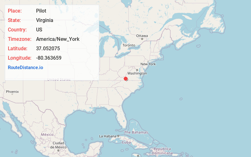
Full AddressPilot, VA 24138
-
Coordinates37.0520752, -80.3636592
-
LocationPilot , Virginia , US
-
TimezoneAmerica/New_York
-
Current Local Time12:22:31 AM America/New_YorkThursday, June 26, 2025
-
Page Views0
About Pilot
Pilot is an unincorporated community in Montgomery County, Virginia, United States. Pilot is 5.9 miles south-southeast of Christiansburg. Pilot has a post office with ZIP code 24138.
The Guerrant House was listed on the National Register of Historic Places in 1989.


Nearby Places
Found 10 places within 50 miles

Basham
1.6 mi
2.6 km
Basham, VA 24138
Get directions

Rogers
3.1 mi
5.0 km
Rogers, VA 24149
Get directions
Sowers
3.5 mi
5.6 km
Sowers, VA 24149
Get directions

Riner
4.4 mi
7.1 km
Riner, VA 24149
Get directions
Huffville
4.4 mi
7.1 km
Huffville, VA 24138
Get directions

Christiansburg
5.9 mi
9.5 km
Christiansburg, VA 24073
Get directions
Childress
7.8 mi
12.6 km
Childress, VA 24073
Get directions
Belmont Farms
8.5 mi
13.7 km
Belmont Farms, Christiansburg, VA 24073
Get directions
Simpsons
8.8 mi
14.2 km
Simpsons, VA 24072
Get directions
Yellow Sulphur Springs
8.9 mi
14.3 km
Yellow Sulphur Springs, VA 24073
Get directions
Location Links
Local Weather
Weather Information
Coming soon!
Location Map
Static map view of Pilot, Virginia
Browse Places by Distance
Places within specific distances from Pilot
Short Distances
Long Distances
Click any distance to see all places within that range from Pilot. Distances shown in miles (1 mile ≈ 1.61 kilometers).