Distance to Pilottown, Louisiana

Calculating Your Route
Just a moment while we process your request...
Location Information
-
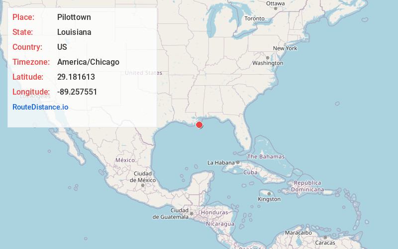
Full AddressPilottown, LA 70091
-
Coordinates29.1816126, -89.2575512
-
LocationPilottown , Louisiana , US
-
TimezoneAmerica/Chicago
-
Current Local Time9:09:29 AM America/ChicagoThursday, May 22, 2025
-
Page Views1
About Pilottown
Pilottown is an unincorporated community and ghost town in Plaquemines Parish, Louisiana, United States.
It serves as a base for river pilots to guide ships across the bar and up and down the Mississippi River. As of 2020, there are no permanent residents of the community.
Nearby Places
Found 10 places within 50 miles

Orchard
8.4 mi
13.5 km
Orchard, LA 70091
Get directions

Boothville-Venice
12.7 mi
20.4 km
Boothville-Venice, LA
Get directions
Port Eads
12.7 mi
20.4 km
Port Eads, LA 70091
Get directions

Empire
24.9 mi
40.1 km
Empire, LA
Get directions
Tropical Bend
26.0 mi
41.8 km
Tropical Bend, Empire, LA 70041
Get directions
Nairn
27.3 mi
43.9 km
Nairn, Empire, LA 70041
Get directions

Port Sulphur
33.4 mi
53.8 km
Port Sulphur, LA
Get directions
Grande Ecaille
34.4 mi
55.4 km
Grande Ecaille, LA
Get directions
Happy Jack
37.1 mi
59.7 km
Happy Jack, Port Sulphur, LA 70083
Get directions
Socola
38.8 mi
62.4 km
Socola, Port Sulphur, LA 70083
Get directions
Location Links
Local Weather
Weather Information
Coming soon!
Location Map
Static map view of Pilottown, Louisiana
Browse Places by Distance
Places within specific distances from Pilottown
Short Distances
Long Distances
Click any distance to see all places within that range from Pilottown. Distances shown in miles (1 mile ≈ 1.61 kilometers).