Distance to Pine Air, Florida

Calculating Your Route
Just a moment while we process your request...
Location Information
-
Full AddressPine Air, FL
-
Coordinates26.6593408, -80.1084606
-
LocationPine Air , Florida , US
-
TimezoneAmerica/New_York
-
Current Local Time5:32:22 AM America/New_YorkWednesday, June 18, 2025
-
Page Views0
About Pine Air
Pine Air is a census-designated place in Palm Beach County, Florida, United States. It is a part of the Miami metropolitan area of South Florida. The population was 2,190 as of the 2020 census.
Nearby Places
Found 10 places within 50 miles

Palm Springs
1.8 mi
2.9 km
Palm Springs, FL
Get directions

Lake Clarke Shores
2.2 mi
3.5 km
Lake Clarke Shores, FL
Get directions

Haverhill
2.3 mi
3.7 km
Haverhill, FL
Get directions

Lake Belvedere Estates
2.6 mi
4.2 km
Lake Belvedere Estates, FL
Get directions

Greenacres
2.8 mi
4.5 km
Greenacres, FL
Get directions
Westgate
2.8 mi
4.5 km
Westgate, FL
Get directions

Palm Beach
5.5 mi
8.9 km
Palm Beach, FL
Get directions

Lantana
6.1 mi
9.8 km
Lantana, FL
Get directions
San Castle
6.9 mi
11.1 km
San Castle, FL 33462
Get directions

Hypoluxo
7.3 mi
11.7 km
Hypoluxo, FL 33462
Get directions
Location Links
Local Weather
Weather Information
Coming soon!
Location Map
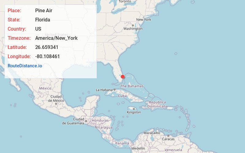
Static map view of Pine Air, Florida
Browse Places by Distance
Places within specific distances from Pine Air
Short Distances
Long Distances
Click any distance to see all places within that range from Pine Air. Distances shown in miles (1 mile ≈ 1.61 kilometers).