Distance to Pine Bluffs, Wyoming

Calculating Your Route
Just a moment while we process your request...
Location Information
-
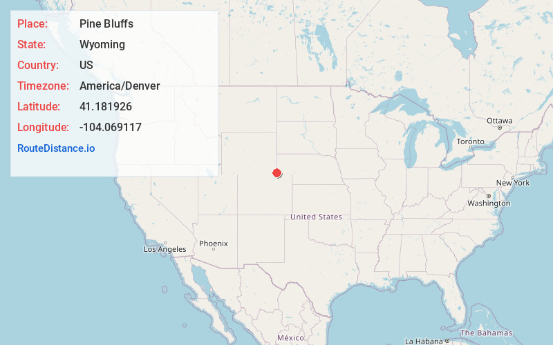
Full AddressPine Bluffs, WY 82082
-
Coordinates41.1819261, -104.0691174
-
LocationPine Bluffs , Wyoming , US
-
TimezoneAmerica/Denver
-
Current Local Time1:47:56 PM America/DenverSaturday, June 28, 2025
-
Page Views0
About Pine Bluffs
Pine Bluffs is a town in eastern Laramie County, Wyoming, United States. It is located on the county's border with Nebraska. Pine Bluffs is part of the Cheyenne, Wyoming, Metropolitan Statistical Area. The population was 1,129 at the 2010 census.


Nearby Places
Found 6 places within 50 miles

Kimball
21.4 mi
34.4 km
Kimball, NE 69145
Get directions

Fox Farm-College
37.3 mi
60.0 km
Fox Farm-College, WY
Get directions

Ranchettes
37.6 mi
60.5 km
Ranchettes, WY 82009
Get directions

South Greeley
38.8 mi
62.4 km
South Greeley, WY 82007
Get directions

Cheyenne
39.3 mi
63.2 km
Cheyenne, WY
Get directions

Gering
49.4 mi
79.5 km
Gering, NE 69341
Get directions
Location Links
Local Weather
Weather Information
Coming soon!
Location Map
Static map view of Pine Bluffs, Wyoming
Browse Places by Distance
Places within specific distances from Pine Bluffs
Short Distances
Long Distances
Click any distance to see all places within that range from Pine Bluffs. Distances shown in miles (1 mile ≈ 1.61 kilometers).