Distance to Pine Level, Florida

Calculating Your Route
Just a moment while we process your request...
Location Information
-
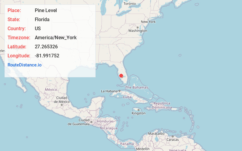
Full AddressPine Level, FL 34266
-
Coordinates27.2653255, -81.9917524
-
LocationFlorida , US
-
TimezoneAmerica/New_York
-
Current Local Time5:22:44 AM America/New_YorkWednesday, June 18, 2025
-
Page Views0
About Pine Level
Pine Level is a ghost town in DeSoto County, Florida, United States.
Pine Level was founded in the 1850s and had bars, saloons, a courthouse, a jail, stores, churches and homes. Gunfights were considered a common sight on the streets.

Nearby Places
Found 10 places within 50 miles

Arcadia
8.9 mi
14.3 km
Arcadia, FL 34266
Get directions

Gardner
13.0 mi
20.9 km
Gardner, FL 33890
Get directions

Ona
15.6 mi
25.1 km
Ona, FL
Get directions
Old Miakka
17.8 mi
28.6 km
Old Miakka, FL
Get directions

North Port
18.6 mi
29.9 km
North Port, FL
Get directions

Harbour Heights
19.0 mi
30.6 km
Harbour Heights, FL 33983
Get directions

Zolfo Springs
19.8 mi
31.9 km
Zolfo Springs, FL
Get directions

Port Charlotte
20.0 mi
32.2 km
Port Charlotte, FL
Get directions

Cleveland
21.2 mi
34.1 km
Cleveland, FL
Get directions

Solana
22.4 mi
36.0 km
Solana, FL 33950
Get directions
Location Links
Local Weather
Weather Information
Coming soon!
Location Map
Static map view of Pine Level, Florida
Browse Places by Distance
Places within specific distances from Pine Level
Short Distances
Long Distances
Click any distance to see all places within that range from Pine Level. Distances shown in miles (1 mile ≈ 1.61 kilometers).