Distance to Pinehurst, Oregon

Calculating Your Route
Just a moment while we process your request...
Location Information
-
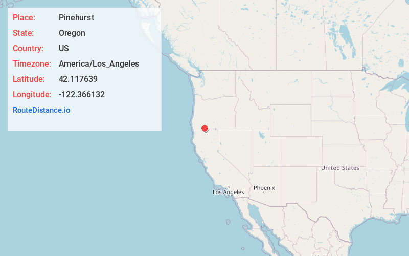
Full AddressPinehurst, OR 97520
-
Coordinates42.1176389, -122.3661323
-
LocationPinehurst , Oregon , US
-
TimezoneAmerica/Los_Angeles
-
Current Local Time9:01:13 PM America/Los_AngelesWednesday, May 21, 2025
-
Page Views0
About Pinehurst
Pinehurst is an unincorporated community in Jackson County, Oregon, United States, on Oregon Route 66 about 25 miles southeast of Ashland. It is along Jenny Creek near Round Prairie between the Siskiyou Mountains and the foothills of the Cascade Range.
Nearby Places
Found 10 places within 50 miles

Beswick
13.4 mi
21.6 km
Beswick, CA 96064
Get directions

Shale City Reservoirs
15.8 mi
25.4 km
Shale City Reservoirs, Oregon 97520
Get directions

Klamath River
17.2 mi
27.7 km
Klamath River, California 96044
Get directions

Hornbrook
17.3 mi
27.8 km
Hornbrook, CA 96044
Get directions
Climax
17.9 mi
28.8 km
Climax, OR 97524
Get directions

Ashland
18.4 mi
29.6 km
Ashland, OR 97520
Get directions

Keno
22.3 mi
35.9 km
Keno, OR
Get directions
Snowden
23.1 mi
37.2 km
Snowden, CA 96064
Get directions

Talent
23.4 mi
37.7 km
Talent, OR 97540
Get directions

Lakecreek
24.9 mi
40.1 km
Lakecreek, OR 97524
Get directions
Location Links
Local Weather
Weather Information
Coming soon!
Location Map
Static map view of Pinehurst, Oregon
Browse Places by Distance
Places within specific distances from Pinehurst
Short Distances
Long Distances
Click any distance to see all places within that range from Pinehurst. Distances shown in miles (1 mile ≈ 1.61 kilometers).