Distance to Piner, Kentucky

Calculating Your Route
Just a moment while we process your request...
Location Information
-
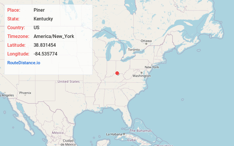
Full AddressPiner, KY 41063
-
Coordinates38.8314544, -84.5357743
-
LocationPiner , Kentucky , US
-
TimezoneAmerica/New_York
-
Current Local Time9:28:00 PM America/New_YorkThursday, June 19, 2025
-
Page Views0
About Piner
Piner is an unincorporated community in Kenton County, Kentucky, United States. The community is located at the intersection of Kentucky Route 14 and Kentucky Route 17 in the southern portion of the county. Piner has an elementary school, Piner Elementary School, which is part of the Kenton County School District.
Nearby Places
Found 10 places within 50 miles

Atwood
2.8 mi
4.5 km
Atwood, KY 41063
Get directions
Bracht
3.0 mi
4.8 km
Bracht, KY 41030
Get directions
Flingsville
4.1 mi
6.6 km
Flingsville, KY 41030
Get directions

Morning View
4.3 mi
6.9 km
Morning View, KY 41063
Get directions
Gardnersville
4.8 mi
7.7 km
Gardnersville, KY 41033
Get directions

Crittenden
4.9 mi
7.9 km
Crittenden, KY
Get directions
Kenton
5.0 mi
8.0 km
Kenton, KY 41063
Get directions

Walton
5.0 mi
8.0 km
Walton, KY 41094
Get directions
Nicholson
5.1 mi
8.2 km
Nicholson, KY 41051
Get directions
White Villa
5.7 mi
9.2 km
White Villa, KY 41063
Get directions
Location Links
Local Weather
Weather Information
Coming soon!
Location Map
Static map view of Piner, Kentucky
Browse Places by Distance
Places within specific distances from Piner
Short Distances
Long Distances
Click any distance to see all places within that range from Piner. Distances shown in miles (1 mile ≈ 1.61 kilometers).