Distance to Pingree, Idaho

Calculating Your Route
Just a moment while we process your request...
Location Information
-
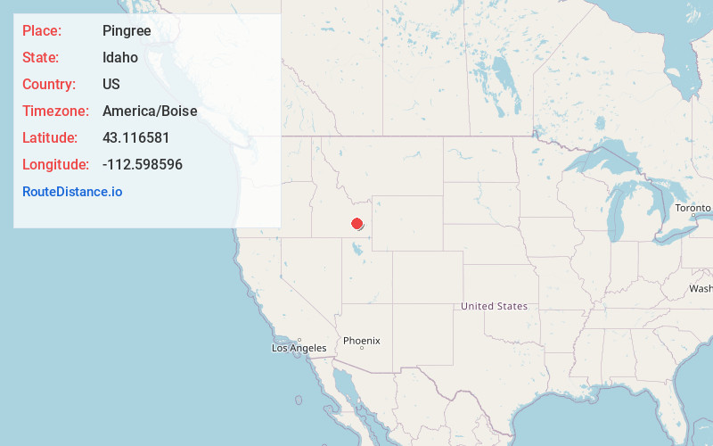
Full AddressPingree, ID 83262
-
Coordinates43.1165805, -112.5985963
-
LocationPingree , Idaho , US
-
TimezoneAmerica/Boise
-
Current Local Time12:52:20 PM America/BoiseTuesday, June 24, 2025
-
Page Views0
About Pingree
Pingree is an unincorporated community in Bingham County, Idaho, United States. Pingree is located on Idaho State Highway 39 southwest of Blackfoot and northwest of Pocatello.
Nearby Places
Found 10 places within 50 miles

Springfield
4.9 mi
7.9 km
Springfield, ID 83277
Get directions

Rockford
6.0 mi
9.7 km
Rockford, ID 83221
Get directions
Sterling
8.6 mi
13.8 km
Sterling, ID 83210
Get directions

Fort Hall
9.9 mi
15.9 km
Fort Hall, ID
Get directions
Riverside
9.9 mi
15.9 km
Riverside, ID 83221
Get directions

Moreland
10.6 mi
17.1 km
Moreland, ID
Get directions
Havens
10.6 mi
17.1 km
Havens, ID 83221
Get directions
Clarkson
11.2 mi
18.0 km
Clarkson, ID 83221
Get directions
Olsen
11.7 mi
18.8 km
Olsen, ID 83221
Get directions

Tyhee
13.2 mi
21.2 km
Tyhee, ID 83202
Get directions
Location Links
Local Weather
Weather Information
Coming soon!
Location Map
Static map view of Pingree, Idaho
Browse Places by Distance
Places within specific distances from Pingree
Short Distances
Long Distances
Click any distance to see all places within that range from Pingree. Distances shown in miles (1 mile ≈ 1.61 kilometers).