Distance to and from Pink Hill, North Carolina
Pink Hill, NC 28572
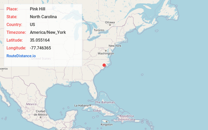
Pink Hill
North Carolina
US
America/New_York
Location Information
-
Full AddressPink Hill, NC 28572
-
Coordinates35.0551638, -77.7463652
-
LocationPink Hill , North Carolina , US
-
TimezoneAmerica/New_York
-
Current Local Time3:39:57 PM America/New_YorkSaturday, May 3, 2025
-
Page Views0
Directions to Nearest Cities
About Pink Hill
Pink Hill is a town in Lenoir County, North Carolina, United States. The population was 451 at the 2020 census.


Nearby Places
Found 10 places within 50 miles

Beulaville
9.2 mi
14.8 km
Beulaville, NC 28518
Get directions

Kenansville
13.8 mi
22.2 km
Kenansville, NC 28349
Get directions

Richlands
15.6 mi
25.1 km
Richlands, NC 28574
Get directions

Kinston
17.1 mi
27.5 km
Kinston, NC
Get directions

La Grange
17.5 mi
28.2 km
La Grange, NC 28551
Get directions

Walnut Creek
18.7 mi
30.1 km
Walnut Creek, NC
Get directions
Greenevers
19.1 mi
30.7 km
Greenevers, NC 28458
Get directions

Warsaw
19.9 mi
32.0 km
Warsaw, NC
Get directions

Mt Olive
20.6 mi
33.2 km
Mt Olive, NC 28365
Get directions
Magnolia
20.6 mi
33.2 km
Magnolia, NC 28453
Get directions
Beulaville
9.2 mi
14.8 km
Beulaville, NC 28518
Kenansville
13.8 mi
22.2 km
Kenansville, NC 28349
Richlands
15.6 mi
25.1 km
Richlands, NC 28574
Kinston
17.1 mi
27.5 km
Kinston, NC
La Grange
17.5 mi
28.2 km
La Grange, NC 28551
Walnut Creek
18.7 mi
30.1 km
Walnut Creek, NC
Greenevers
19.1 mi
30.7 km
Greenevers, NC 28458
Warsaw
19.9 mi
32.0 km
Warsaw, NC
Mt Olive
20.6 mi
33.2 km
Mt Olive, NC 28365
Magnolia
20.6 mi
33.2 km
Magnolia, NC 28453
Location Links
Local Weather
Weather Information
Coming soon!
Location Map
Static map view of Pink Hill, North Carolina
Browse Places by Distance
Places within specific distances from Pink Hill
Short Distances
Long Distances
Click any distance to see all places within that range from Pink Hill. Distances shown in miles (1 mile ≈ 1.61 kilometers).