Distance to Pittsfield, New Hampshire

Calculating Your Route
Just a moment while we process your request...
Location Information
-
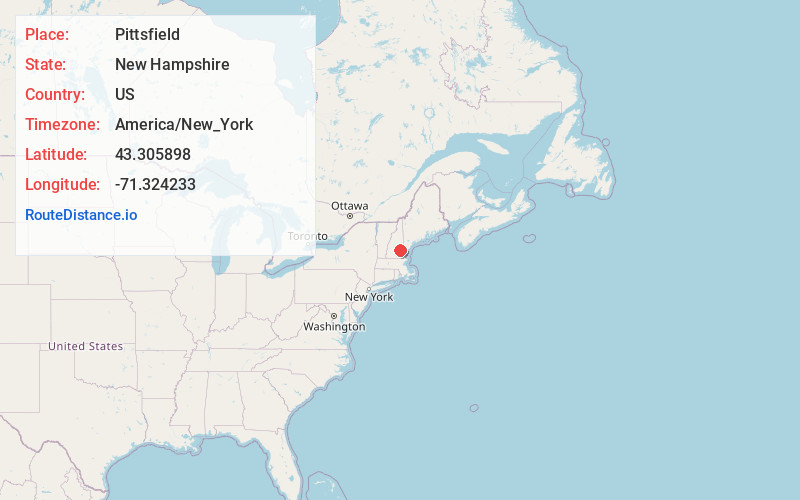
Full AddressPittsfield, NH
-
Coordinates43.3058983, -71.3242331
-
LocationPittsfield , New Hampshire , US
-
TimezoneAmerica/New_York
-
Current Local Time10:13:22 PM America/New_YorkFriday, June 20, 2025
-
Website
-
Page Views0
About Pittsfield
Pittsfield is a town in Merrimack County, New Hampshire, United States. The population was 4,075 at the 2020 census.
The main village in town, where 1,570 people resided at the 2020 census, is defined as the Pittsfield census-designated place, and is located on the Suncook River in the west-central portion of town.


Nearby Places
Found 10 places within 50 miles

Barnstead
3.2 mi
5.1 km
Barnstead, NH
Get directions

Epsom
5.7 mi
9.2 km
Epsom, NH
Get directions

Strafford
7.2 mi
11.6 km
Strafford, NH
Get directions

Loudon
7.3 mi
11.7 km
Loudon, NH
Get directions

Pembroke
10.4 mi
16.7 km
Pembroke, NH
Get directions

Allenstown
11.0 mi
17.7 km
Allenstown, NH
Get directions

Northwood
11.6 mi
18.7 km
Northwood, NH
Get directions

Belmont
12.3 mi
19.8 km
Belmont, NH 03220
Get directions

Deerfield
12.7 mi
20.4 km
Deerfield, NH
Get directions

Concord
12.9 mi
20.8 km
Concord, NH
Get directions
Location Links
Local Weather
Weather Information
Coming soon!
Location Map
Static map view of Pittsfield, New Hampshire
Browse Places by Distance
Places within specific distances from Pittsfield
Short Distances
Long Distances
Click any distance to see all places within that range from Pittsfield. Distances shown in miles (1 mile ≈ 1.61 kilometers).