Distance to Plata, Texas

Calculating Your Route
Just a moment while we process your request...
Location Information
-
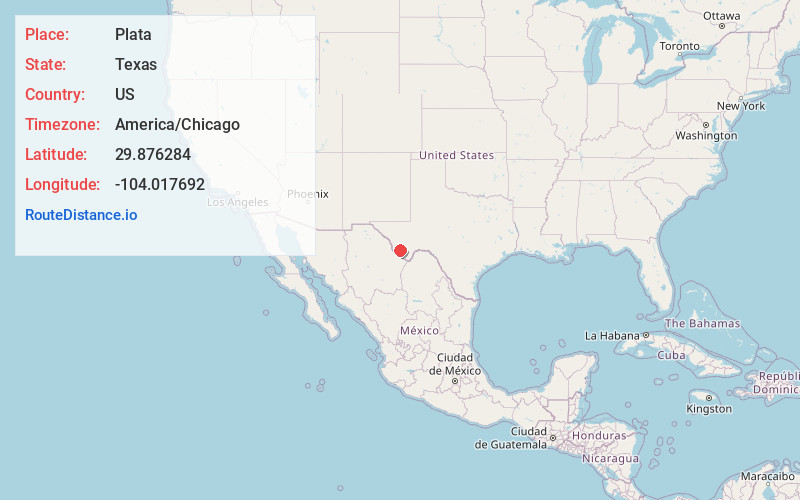
Full AddressPlata, TX 79843
-
Coordinates29.8762836, -104.0176921
-
LocationTexas , US
-
TimezoneAmerica/Chicago
-
Current Local Time2:08:22 PM America/ChicagoFriday, June 6, 2025
-
Page Views0
About Plata
Plata is an unincorporated community in Presidio County, Texas, on Farm to Market Road 169 approximately 25 miles south of the county seat of Marfa. The population at the 2000 census was 37.
Plata is Spanish for "silver."
Nearby Places
Found 10 places within 50 miles

Casa Piedra
9.8 mi
15.8 km
Casa Piedra, TX 79843
Get directions

Shafter
17.5 mi
28.2 km
Shafter, TX 79843
Get directions
Tinaja
21.7 mi
34.9 km
Tinaja, TX 79843
Get directions

Marfa
29.9 mi
48.1 km
Marfa, TX 79843
Get directions

Presidio
30.5 mi
49.1 km
Presidio, TX 79845
Get directions

Redford
31.2 mi
50.2 km
Redford, TX 79846
Get directions
Ochoa
32.4 mi
52.1 km
Ochoa, TX 79845
Get directions

Alpine
39.1 mi
62.9 km
Alpine, TX
Get directions
Ryan
41.8 mi
67.3 km
Ryan, TX
Get directions

Candelaria
43.5 mi
70.0 km
Candelaria, TX 79845
Get directions
Location Links
Local Weather
Weather Information
Coming soon!
Location Map
Static map view of Plata, Texas
Browse Places by Distance
Places within specific distances from Plata
Short Distances
Long Distances
Click any distance to see all places within that range from Plata. Distances shown in miles (1 mile ≈ 1.61 kilometers).