Distance to Pleasant Gap, Missouri

Calculating Your Route
Just a moment while we process your request...
Location Information
-
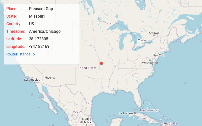
Full AddressPleasant Gap, MO 64730
-
Coordinates38.1728045, -94.1821688
-
LocationPleasant Gap , Missouri , US
-
TimezoneAmerica/Chicago
-
Current Local Time8:57:34 AM America/ChicagoSunday, May 25, 2025
-
Page Views0
About Pleasant Gap
Pleasant Gap is an unincorporated community in southeastern Bates County, in the U.S. state of Missouri. The community is on Missouri Route 0 approximately ten miles southeast of Butler.
Nearby Places
Found 10 places within 50 miles

Spruce
7.0 mi
11.3 km
Spruce, MO 64730
Get directions
Lindale
7.6 mi
12.2 km
Lindale, Appleton Township, MO 64724
Get directions

Appleton City
8.4 mi
13.5 km
Appleton City, MO 64724
Get directions
Rockville
9.0 mi
14.5 km
Rockville, MO 64780
Get directions

Butler
10.0 mi
16.1 km
Butler, MO 64730
Get directions
Johnstown
10.9 mi
17.5 km
Johnstown, Spruce Township, MO 64770
Get directions

Rich Hill
11.1 mi
17.9 km
Rich Hill, MO 64779
Get directions
Schell City
11.2 mi
18.0 km
Schell City, MO 64783
Get directions
Germantown
12.0 mi
19.3 km
Germantown, Deepwater Township, MO 64770
Get directions

Montrose
12.4 mi
20.0 km
Montrose, MO 64770
Get directions
Location Links
Local Weather
Weather Information
Coming soon!
Location Map
Static map view of Pleasant Gap, Missouri
Browse Places by Distance
Places within specific distances from Pleasant Gap
Short Distances
Long Distances
Click any distance to see all places within that range from Pleasant Gap. Distances shown in miles (1 mile ≈ 1.61 kilometers).