Distance to Pleasant Grove, Utah

Calculating Your Route
Just a moment while we process your request...
Location Information
-
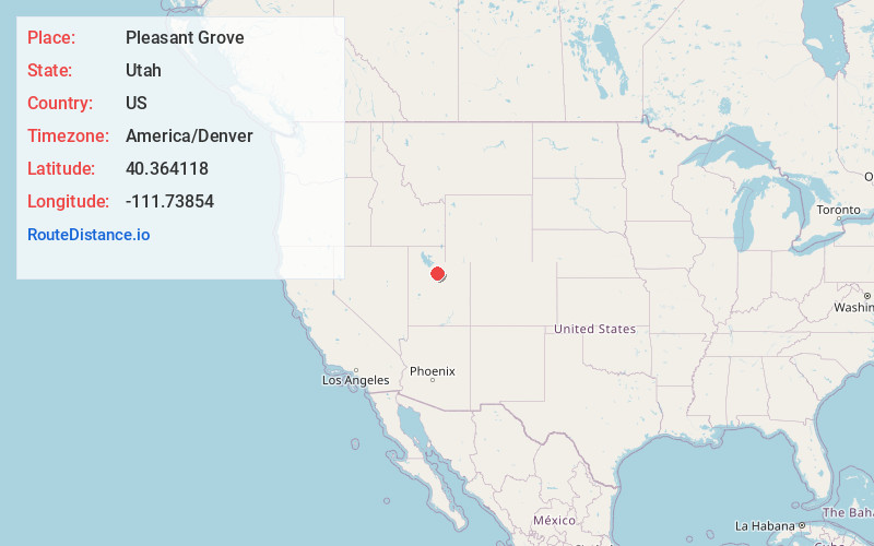
Full AddressPleasant Grove, UT
-
Coordinates40.3641184, -111.73854
-
LocationPleasant Grove , Utah , US
-
TimezoneAmerica/Denver
-
Current Local Time4:48:05 AM America/DenverSunday, June 15, 2025
-
Website
-
Page Views0
About Pleasant Grove
Pleasant Grove, originally named Battle Creek, is a city in Utah County, Utah, United States, known as "Utah's City of Trees". It is part of the Provo–Orem Metropolitan Statistical Area. The population was 37,726 at the 2020 Census.


Nearby Places
Found 10 places within 50 miles

Orem
5.2 mi
8.4 km
Orem, UT
Get directions

Lehi
6.2 mi
10.0 km
Lehi, UT
Get directions

Saratoga Springs
9.0 mi
14.5 km
Saratoga Springs, UT
Get directions

Provo
9.8 mi
15.8 km
Provo, UT
Get directions

Draper
12.9 mi
20.8 km
Draper, UT
Get directions

Eagle Mountain
14.5 mi
23.3 km
Eagle Mountain, UT
Get directions

Sandy
14.8 mi
23.8 km
Sandy, UT
Get directions

Riverton
15.2 mi
24.5 km
Riverton, UT
Get directions

Springville
15.3 mi
24.6 km
Springville, UT
Get directions

South Jordan
17.0 mi
27.4 km
South Jordan, UT
Get directions
Location Links
Local Weather
Weather Information
Coming soon!
Location Map
Static map view of Pleasant Grove, Utah
Browse Places by Distance
Places within specific distances from Pleasant Grove
Short Distances
Long Distances
Click any distance to see all places within that range from Pleasant Grove. Distances shown in miles (1 mile ≈ 1.61 kilometers).